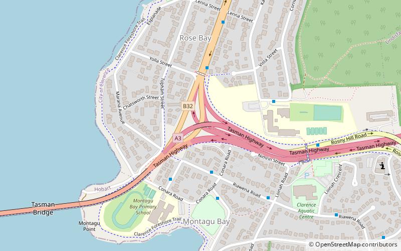
Tasman Highway, Hobart
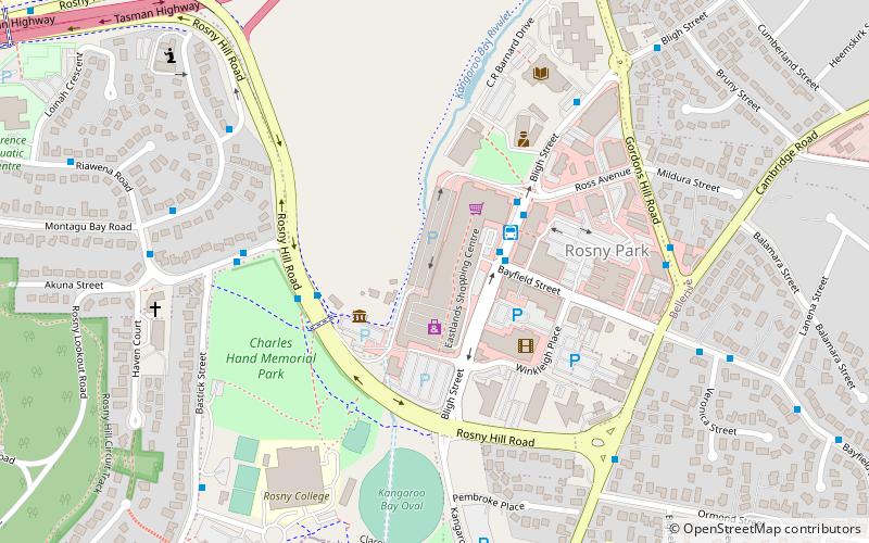
Map
Facts and practical information
Tasman Highway is a place located in Hobart (Tasmania state) and belongs to the category of bridge.
It is situated at an altitude of 92 feet, and its geographical coordinates are 42°51'43"S latitude and 147°21'18"E longitude.
Planning a visit to this place, one can easily and conveniently get there by public transportation. Tasman Highway is a short distance from the following public transport stations: Eastlands Interchange (bus, 20 min walk).
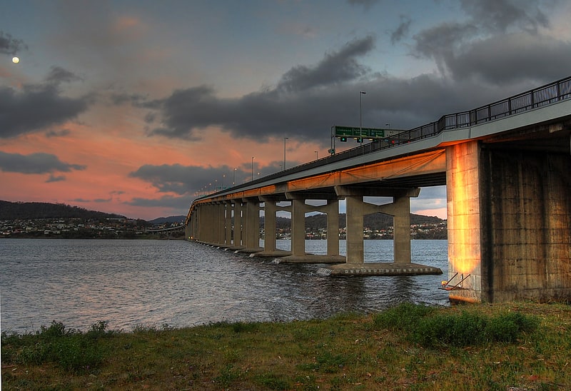
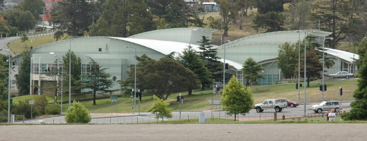
Among other places and attractions worth visiting in the area are: Clarence Aquatic Centre (sport venue, 7 min walk), Montagu Bay (locality, 7 min walk), Tasman Bridge (bridge, 13 min walk).
Coordinates: 42°51'43"S, 147°21'18"E
Getting there by public transportation
Public transportation stops near this location
- Bus
 Bus
Bus
- Calculate routeEastlands Interchange 20 min walk
Day trips


Frequently Asked Questions (FAQ)
Which popular attractions are close to Tasman Highway?
Nearby attractions include Tasman Bridge, Hobart (13 min walk), Rosny Hill Nature Recreation Area, Hobart (15 min walk), Rosny Hill Road, Hobart (18 min walk), Lindisfarne War Memorial, Hobart (18 min walk).
How to get to Tasman Highway by public transport?
The nearest stations to Tasman Highway:
Bus
Bus
- Eastlands Interchange (20 min walk)