Gungahlin Drive Extension, Canberra
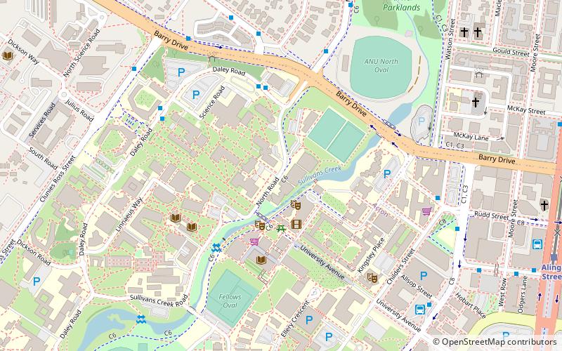
Map
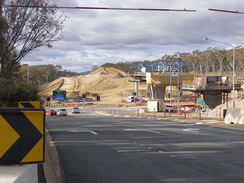
Gallery
Facts and practical information
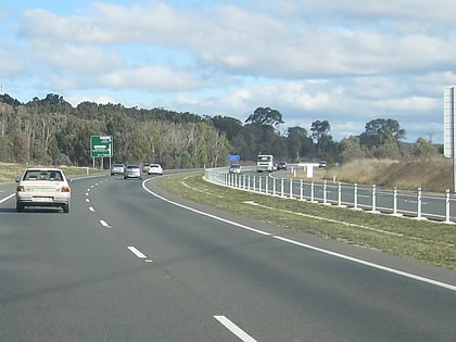
Gungahlin Drive Extension is a freeway grade road, located in the Belconnen district of Canberra, Australia. It is 8.3 kilometres long and extended the previously existing Gungahlin Drive from the Barton Highway in the district of Gungahlin to the Glenloch Interchange to connect with the Tuggeranong Parkway, Parkes Way, and William Hovell Drive. Early in the planning stages, the GDE was to instead be designated the John Dedman Parkway. ()
Coordinates: 35°16'33"S, 149°7'16"E
Address
North Canberra (Acton)Canberra
ContactAdd
Social media
Add
Day trips
Gungahlin Drive Extension – popular in the area (distance from the attraction)
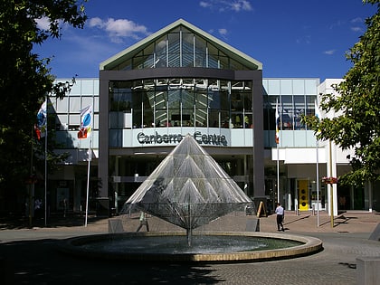
Nearby attractions include: Canberra Centre, City Hill, Manning Clark House, National Film & Sound Archive.
Frequently Asked Questions (FAQ)
Which popular attractions are close to Gungahlin Drive Extension?
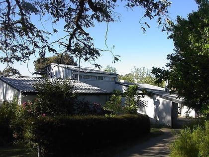
Nearby attractions include Manning Clark House, Canberra (2 min walk), Australian National University Library, Canberra (4 min walk), Drill Hall Gallery, Canberra (5 min walk), ANU Health Center, Canberra (5 min walk).
How to get to Gungahlin Drive Extension by public transport?
The nearest stations to Gungahlin Drive Extension:
Bus
Light rail
Bus
- ANU Bus Stop (7 min walk)
- City West Bus Station (9 min walk)
Light rail
- Alinga Street • Lines: Canberra Metro (Nouthbound), Canberra Metro (Southbound) (13 min walk)
- Elouera Street • Lines: Canberra Metro (Nouthbound), Canberra Metro (Southbound) (15 min walk)
