Port Macquarie-Hastings Council, Port Macquarie

Facts and practical information
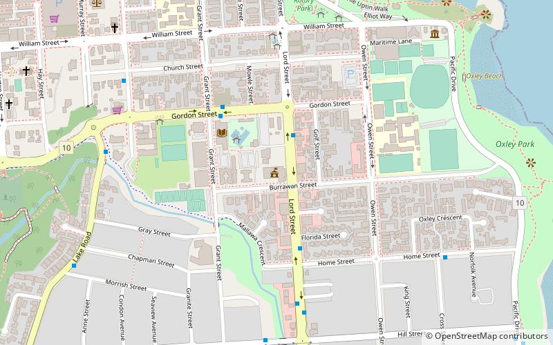
Port Macquarie-Hastings Council (address: 17 Burrawan Street) is a place located in Port Macquarie (New South Wales state) and belongs to the category of city hall.
It is situated at an altitude of 33 feet, and its geographical coordinates are 31°26'5"S latitude and 152°55'1"E longitude.
Planning a visit to this place, one can easily and conveniently get there by public transportation. Port Macquarie-Hastings Council is a short distance from the following public transport stations: Hill Street opposite Rose Street (bus, 8 min walk).
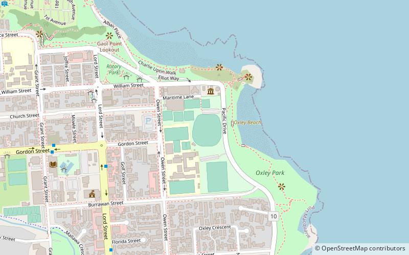
Among other places and attractions worth visiting in the area are: Oxley Oval (sport, 9 min walk), Port Macquarie Government House Site (archaeological site, 12 min walk), St Thomas's Anglican Church (church, 12 min walk).
- Bus
 Bus
Bus
- Calculate routeHill Street opposite Rose Street 8 min walk
- Calculate routeLake Road after Gordon Street 9 min walk
- Calculate routeMunster Street at Church Street 9 min walk
Port Macquarie-Hastings Council – popular in the area (distance from the attraction)
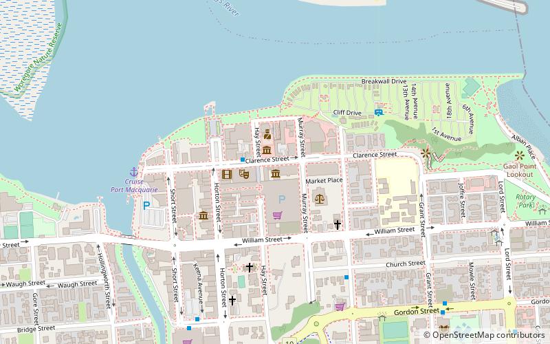
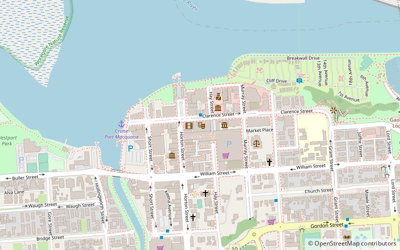
Nearby attractions include: St Thomas's Anglican Church, Port Macquarie Second Burying Ground, Port Macquarie First Burying Ground, Old Port Macquarie Courthouse.


Frequently Asked Questions (FAQ)
Which popular attractions are close to Port Macquarie-Hastings Council?
How to get to Port Macquarie-Hastings Council by public transport?
Bus
- Hill Street opposite Rose Street • Lines: 334K (8 min walk)
- Lake Road after Gordon Street • Lines: 334K (9 min walk)