La Trobe Street, Melbourne
Map
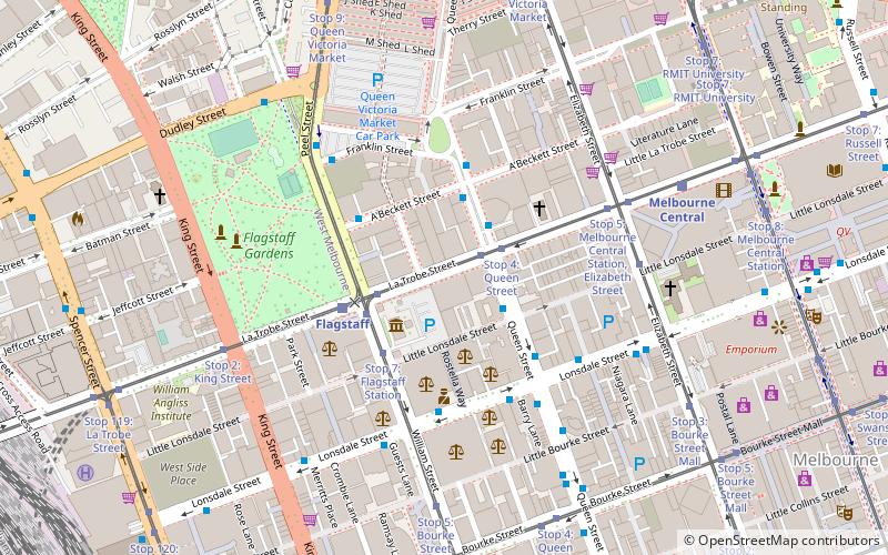
Map

Facts and practical information
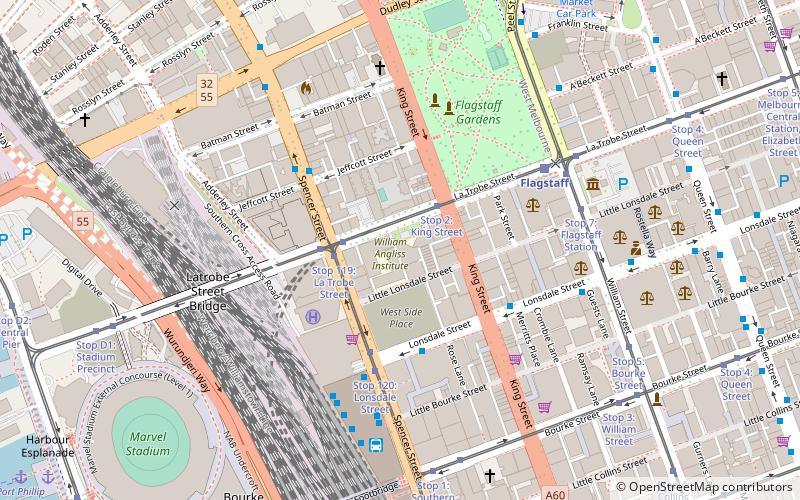
La Trobe Street is a major street and thoroughfare in the city centre of Melbourne, Victoria, Australia. It runs roughly east–west and forms the northern boundary of Melbourne's central business district. The street was laid out as an extension of the original Hoddle Grid in 1839 and was named after Charles La Trobe. La Trobe Street extends from Victoria Street in the east to Harbour Esplanade in the west. ()
Coordinates: 37°48'41"S, 144°57'29"E
Address
300 Latrobe streetCity of Melbourne (Melbourne CBD)Melbourne
ContactAdd
Social media
Add
Day trips
La Trobe Street – popular in the area (distance from the attraction)
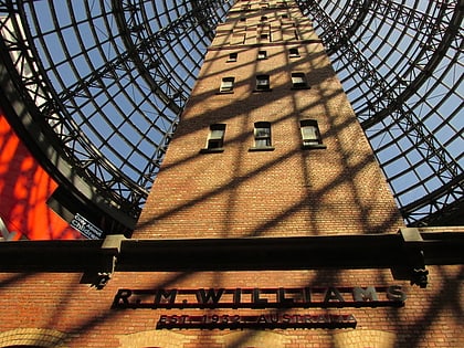
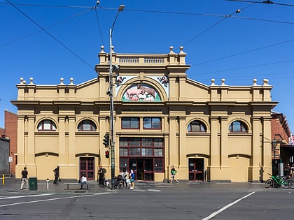
Nearby attractions include: Melbourne Central, Emporium Melbourne, Queen Victoria Market, RMIT Melbourne City campus.
Frequently Asked Questions (FAQ)
Which popular attractions are close to La Trobe Street?
Nearby attractions include Hellenic Museum, Melbourne (2 min walk), Queen Street, Melbourne (4 min walk), Eq. Tower, Melbourne (4 min walk), Argus Centre, Melbourne (4 min walk).
How to get to La Trobe Street by public transport?
The nearest stations to La Trobe Street:
Bus
Tram
Train
Ferry
Bus
- La Trobe Street/Queen Street • Lines: 220, 234, 235, 236, 237 (2 min walk)
- Little Lonsdale Street/Queen Street • Lines: 605 (2 min walk)
Tram
- Stop 4: Queen Street • Lines: 30, 30d, 35 (2 min walk)
- Stop 3: Flagstaff Station • Lines: 30, 30d, 35 (3 min walk)
Train
- Flagstaff (3 min walk)
- Melbourne Central (7 min walk)
Ferry
- Port Phillip Ferries (21 min walk)

 Melbourne Trams
 Victoria Trains