Queensland Centre for Photography, Brisbane
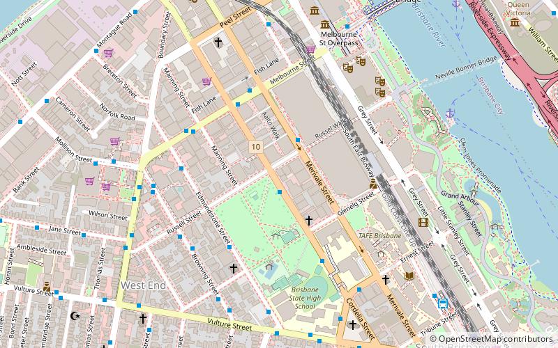
Map
Facts and practical information
The Queensland Centre for Photography was an artist-run photographic institution that operated from 2004 until 2014. The Board, at a general meeting of the QCP held on 17 April, decided unanimously to close its Brisbane exhibition venue, following the withdrawal of core funding announced October 2013 by the Queensland state government. ()
Address
South BrisbaneBrisbane
ContactAdd
Social media
Add
Getting there by public transportation
Public transportation stops near this location
- Bus
- Train
- Ferry
 Bus
Bus
- Calculate routeCultural Centre 8 min walk
- Calculate routeCultural Centre station, platform 2 8 min walk
- Calculate routeCultural Centre station, platform 1 8 min walk
- Calculate routeSouth Bank busway station, platform 1 10 min walk
- Calculate routeSouth Bank Ferry Terminal 1 9 min walk
- Calculate routeNorth Quay 2 12 min walk
- Calculate routeNorth Quay 1 12 min walk
- Calculate routeSouth Bank 13 min walk
- Calculate routeRoma Street 23 min walk
- Calculate routeMilton 24 min walk
- Calculate routeCentral 25 min walk
Day trips
Queensland Centre for Photography – popular in the area (distance from the attraction)
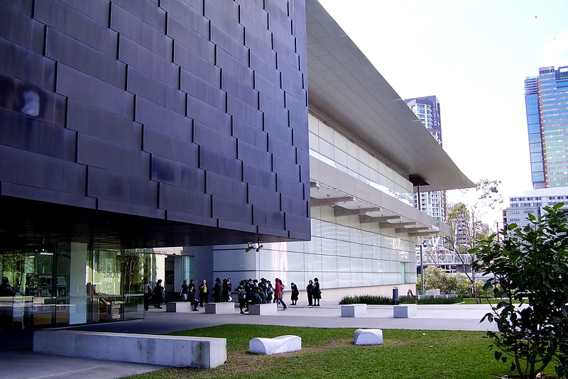
Nearby attractions include: Gallery of Modern Art, QAGOMA, South Bank Parklands, Queensland Museum.


Frequently Asked Questions (FAQ)
Which popular attractions are close to Queensland Centre for Photography?
Nearby attractions include Musgrave Park, Brisbane (3 min walk), South Brisbane, Brisbane (5 min walk), Cremorne Theatre, Brisbane (7 min walk), South Bank Piazza, Brisbane (7 min walk).
How to get to Queensland Centre for Photography by public transport?
The nearest stations to Queensland Centre for Photography:
Bus
Ferry
Train
Bus
- Cultural Centre (8 min walk)
- Cultural Centre station, platform 2 • Lines: 100, 204, 330, 333, 444, 460, 61, N100, N339 (8 min walk)
Ferry
- South Bank Ferry Terminal 1 • Lines: Uqsl-1410 (9 min walk)
- North Quay 2 • Lines: Chop-400 (12 min walk)
Train
- South Bank (13 min walk)
- Roma Street (23 min walk)