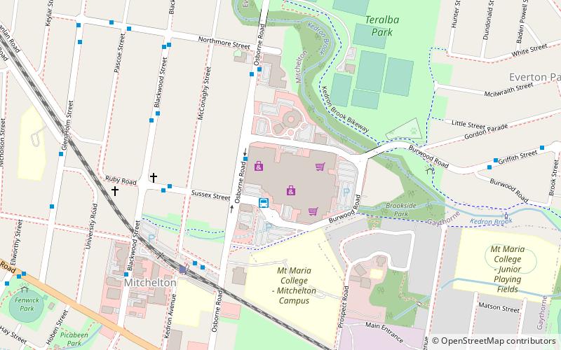
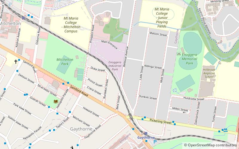
Mitchelton, Brisbane
Map

Map

Facts and practical information
Mitchelton is a north-western suburb in the City of Brisbane, Queensland, Australia. In the 2016 census, Mitchelton had a population of 8,559 people. ()
Coordinates: 27°24'41"S, 152°58'23"E
Address
MitcheltonBrisbane
ContactAdd
Social media
Add
Day trips
Mitchelton – popular in the area (distance from the attraction)
Nearby attractions include: Brookside Shopping Centre, Enoggera Memorial Hall, Enoggera Hill, Everton Park.
Frequently Asked Questions (FAQ)
Which popular attractions are close to Mitchelton?
Nearby attractions include St Matthews Anglican Church, Brisbane (9 min walk), Queensland Family History Society, Brisbane (17 min walk).
How to get to Mitchelton by public transport?
The nearest stations to Mitchelton:
Train
Bus
Train
- Mitchelton (5 min walk)
- Oxford Park (14 min walk)
Bus
- 013060 • Lines: 398 (33 min walk)
- 011322 • Lines: 398 (33 min walk)


