St Matthews Anglican Church, Brisbane
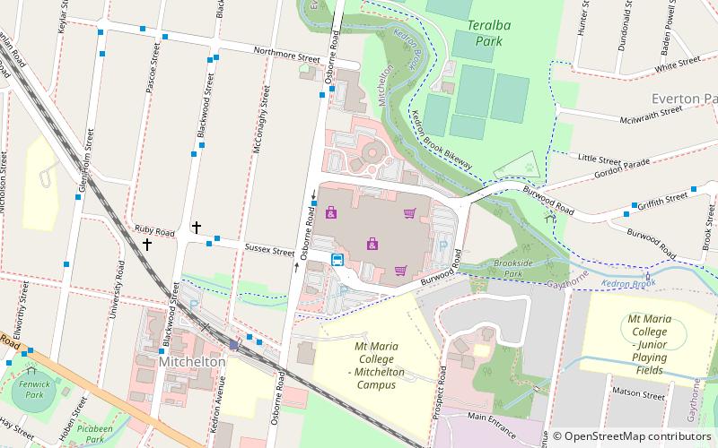
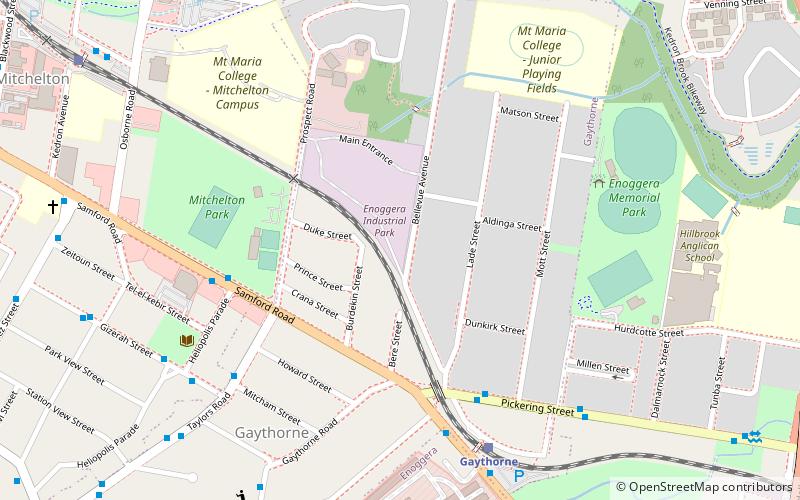
Map
Gallery
Facts and practical information
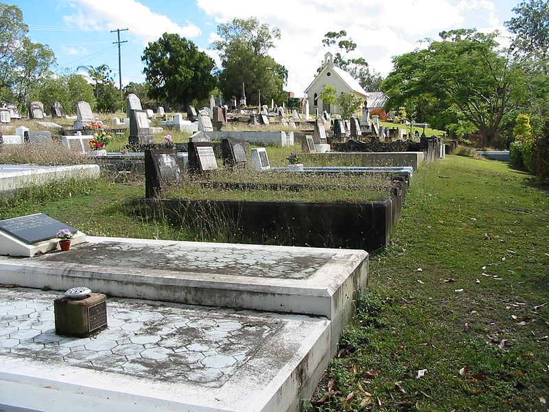
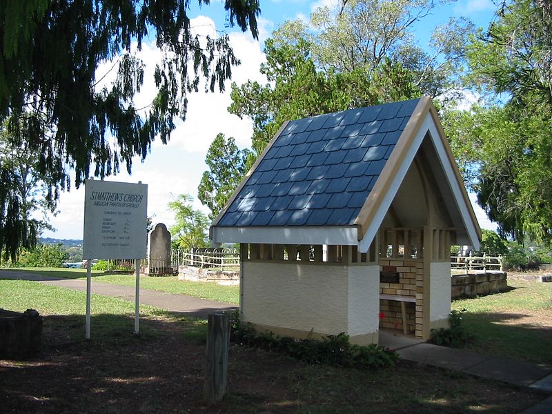
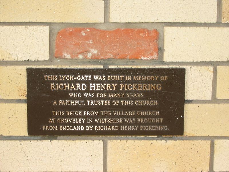
St Matthews Anglican Church is a heritage-listed church and cemetery at 35 Church Road, Mitchelton, City of Brisbane, Queensland, Australia. It was designed by Charles Tiffin and built from 1867 to 1869 by Mr Mahoney. It is also known as Grovely Church, as it is within the Parish of Grovely. It was added to the Queensland Heritage Register on 21 October 1992. ()
Coordinates: 27°24'32"S, 152°58'5"E
Address
MitcheltonBrisbane
ContactAdd
Social media
Add
Day trips
St Matthews Anglican Church – popular in the area (distance from the attraction)
Nearby attractions include: Brookside Shopping Centre, Enoggera Hill, Mitchelton, Keperra Country Golf Club.
Frequently Asked Questions (FAQ)
How to get to St Matthews Anglican Church by public transport?
The nearest stations to St Matthews Anglican Church:
Train
Bus
Train
- Oxford Park (9 min walk)
- Grovely (12 min walk)
Bus
- 013060 • Lines: 398 (25 min walk)
- 011322 • Lines: 398 (25 min walk)


