Tinaroo Dam

Gallery (3)
Map
Map
Gallery
Facts and practical information
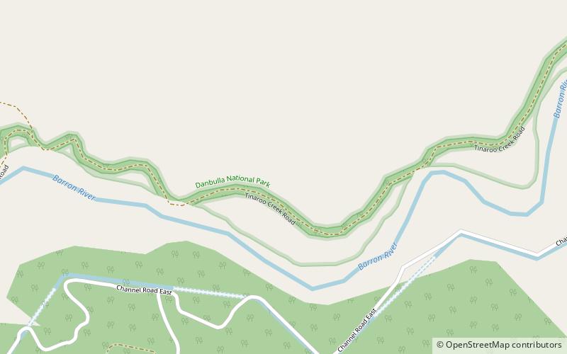
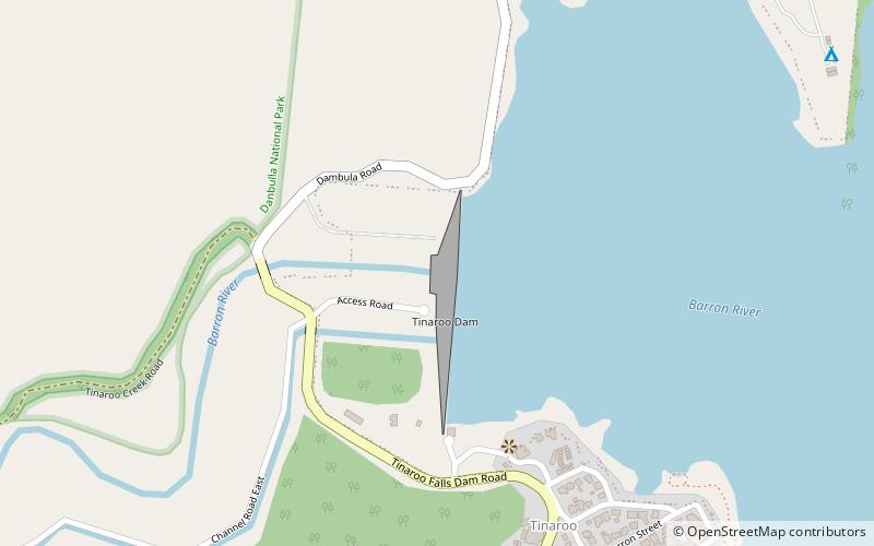
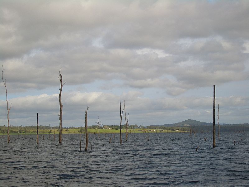
The Tinaroo Dam, officially the Tinaroo Falls Dam, is a major ungated concrete gravity dam with a central ogee spillway across the Barron River located on the Atherton Tableland in Far North Queensland, Australia. The dam's purpose includes irrigation for the Mareeba-Dimbulah Irrigation Scheme, water supply, hydroelectricity, and recreation. Completed between 1953 and 1958, the dam creates the impounded reservoir, Lake Tinaroo. ()
Opened: 1958 (68 years ago)Length: 1749 ftHeight: 138 ftReservoir area: 13.51 mi²Reservoir depth: 137 ftCoordinates: 17°9'49"S, 145°32'46"E
Location
Queensland
ContactAdd
Social media
Add
Day trips