Vaucluse Bay Range Rear Light, Sydney
Map
Facts and practical information
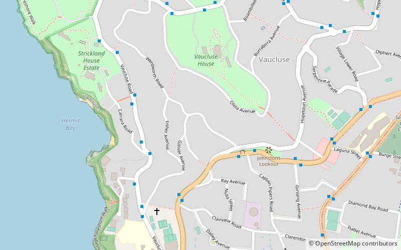
Vaucluse Bay Range Rear Light is an active lighthouse located on the east side of the entrance to Vaucluse Bay in Vaucluse, New South Wales, Australia. It serves as the rear range light companion to the Vaucluse Bay Range Front Light, into Vaucluse Bay. The distance between the two lights is 945 metres. ()
Coordinates: 33°51'29"S, 151°16'23"E
Address
Eastern Suburbs (Vaucluse)Sydney
ContactAdd
Social media
Add
Getting there by public transportation
Public transportation stops near this location
- Ferry
 Ferry
Ferry
- Calculate routeRose Bay Wharf 27 min walk
- Calculate routeWatsons Bay Wharf 29 min walk
Maps Sydney TrainsMaps
 Sydney Light RailMaps
 Sydney Ferries
Sydney TrainsMapsSydney Light RailMapsSydney FerriesDay trips


Frequently Asked Questions (FAQ)
Which popular attractions are close to Vaucluse Bay Range Rear Light?
Nearby attractions include Vaucluse House, Sydney (5 min walk), Strickland House, Sydney (9 min walk), Wentworth Memorial Church, Sydney (13 min walk), Wentworth Mausoleum, Sydney (13 min walk).
How to get to Vaucluse Bay Range Rear Light by public transport?
The nearest stations to Vaucluse Bay Range Rear Light:
Ferry
Ferry
- Rose Bay Wharf • Lines: F7 (27 min walk)
- Watsons Bay Wharf • Lines: F7 (29 min walk)