Garrison Church, Sydney
Facts and practical information
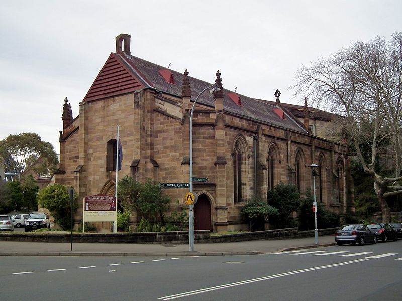
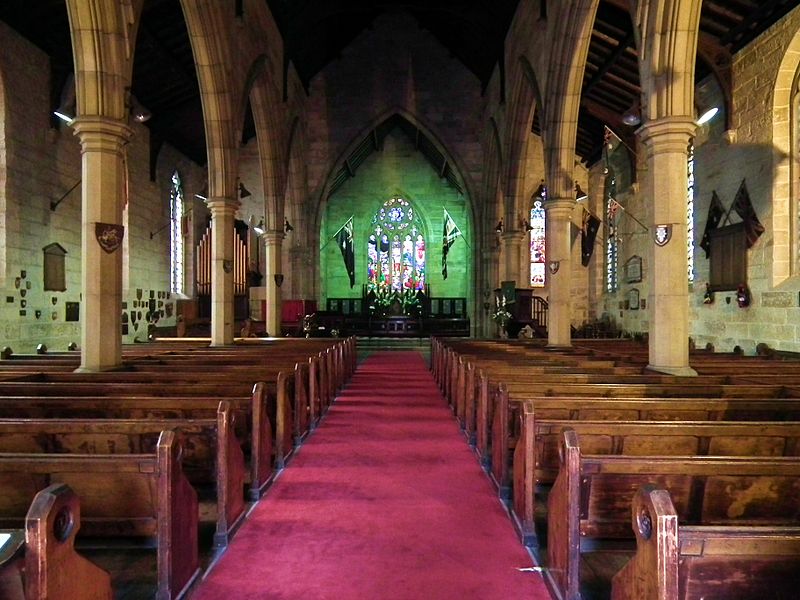
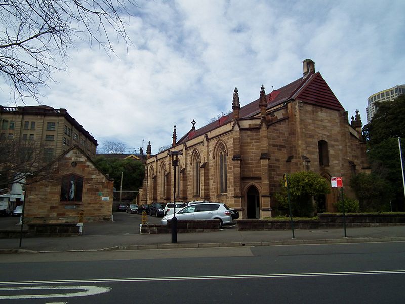
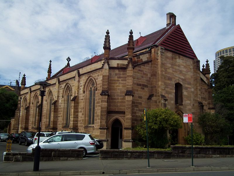
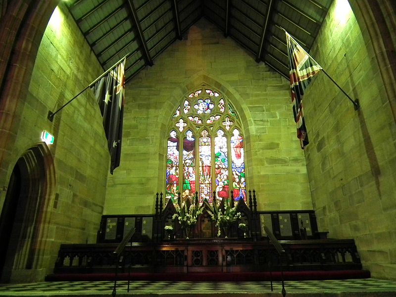
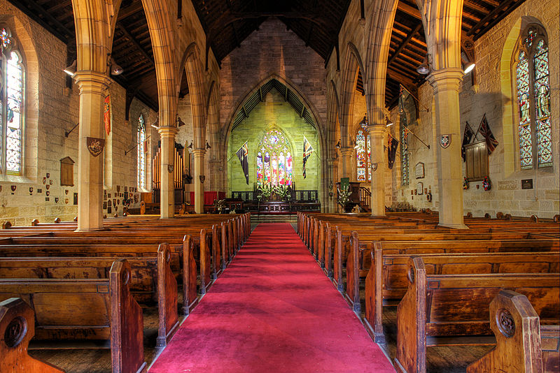
The Garrison Church is a heritage-listed active Anglican church building located at Argyle Street in the inner city Sydney suburb of Millers Point in the City of Sydney local government area of New South Wales, Australia. It was designed by Henry Ginn, Edmund Blacket and built from 1840 to 1846 by Edward Flood and George Patton. It is also known as Holy Trinity Anglican Church and Hall. The property is owned by Anglican Church Property Trust and was added to the New South Wales State Heritage Register on 2 April 1999. ()
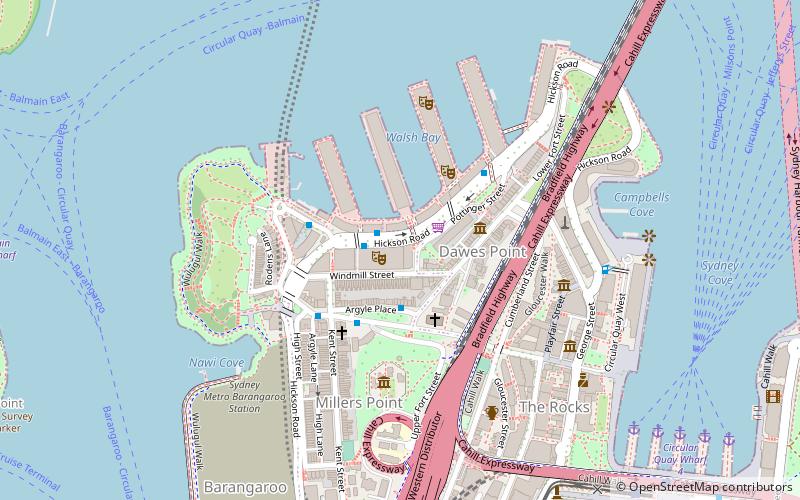
Argyle and Lower Fort StreetsCentral Business District (The Rocks)Sydney
Garrison Church – popular in the area (distance from the attraction)
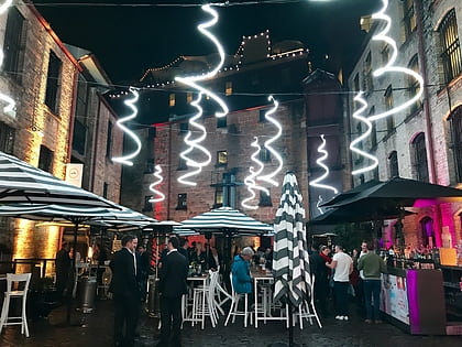
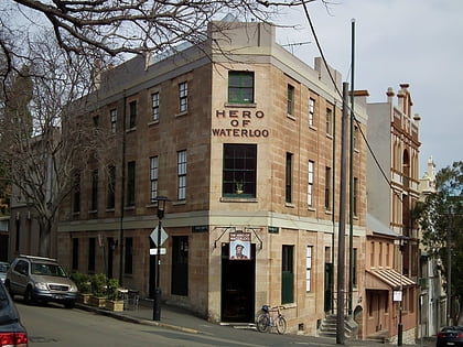
Nearby attractions include: Argyle Stores, Sydney Observatory, Glenmore Hotel, 14-22 Trinity Avenue.
Frequently Asked Questions (FAQ)
Which popular attractions are close to Garrison Church?
How to get to Garrison Church by public transport?
Ferry
- Circular Quay Wharf 5 • Lines: F3, F4 (8 min walk)
- Circular Quay Wharf 4 • Lines: F5, F6 (9 min walk)
Light rail
- Circular Quay • Lines: L2, L3 (9 min walk)
- Bridge Street • Lines: L2, L3 (11 min walk)
Train
- Circular Quay (9 min walk)
- Wynyard (14 min walk)
Bus
- Lang Park • Lines: 290 (10 min walk)
- Stand A, Circular Quay, Alfred Street • Lines: 302, 303, 326 (10 min walk)



 Sydney Trains
 Sydney Light Rail
 Sydney Ferries