Observatory Park, Sydney

Facts and practical information
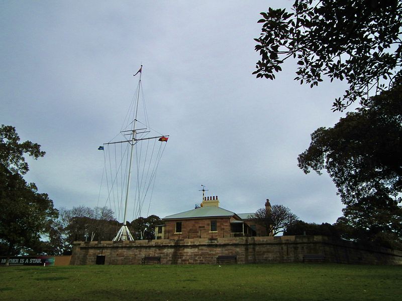
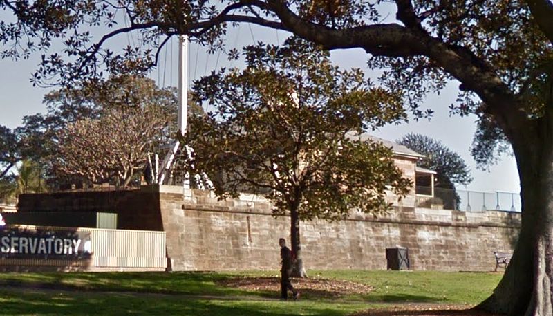
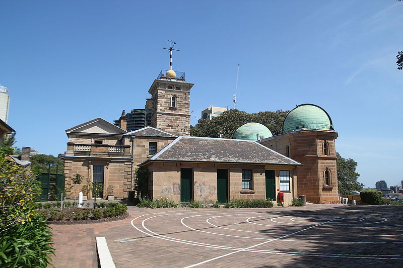
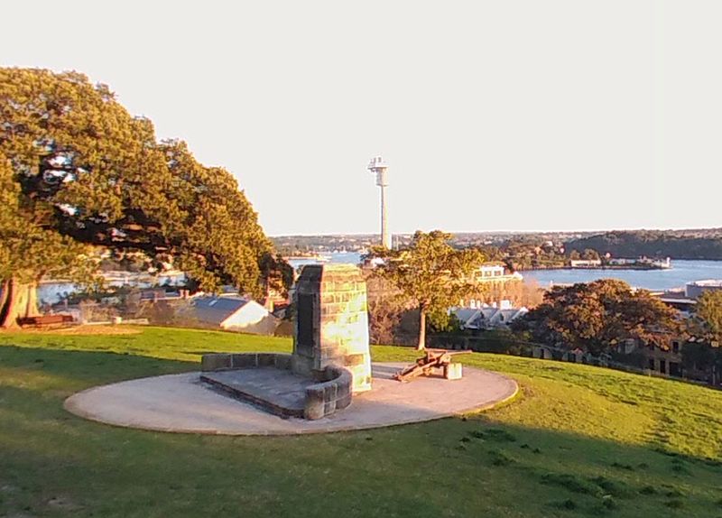
Observatory Park is located in the heart of the Sydney central business district, City of Sydney, New South Wales, Australia. It is near the Harbour Bridge and is bounded by Kent Street, Watson Road, Upper Fort Street and Bradfield Highway, Millers Point. Its history dates back to 1796 when it was used as the site of the first windmill in the colony, when it was known as Windmill Hill. It is also the site of a number of historical buildings including the historic Sydney Observatory, the Signal Station, the remains of Fort Philip, the National Trust Centre and a rotunda which is used for weddings. ()
Observatory Park – popular in the area (distance from the attraction)
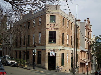
Nearby attractions include: Sydney Observatory, Garrison Church, Lord Nelson Brewery Hotel, Hero of Waterloo Hotel.
Frequently Asked Questions (FAQ)
Which popular attractions are close to Observatory Park?
How to get to Observatory Park by public transport?
Bus
- Lang Park • Lines: 290 (8 min walk)
- Stand Q, Wynyard • Lines: 607X, 610 (10 min walk)
Ferry
- Circular Quay Wharf 5 • Lines: F3, F4 (9 min walk)
- Circular Quay Wharf 4 • Lines: F5, F6 (9 min walk)
Light rail
- Circular Quay • Lines: L2, L3 (9 min walk)
- Bridge Street • Lines: L2, L3 (9 min walk)
Train
- Circular Quay (9 min walk)
- Wynyard (12 min walk)



 Sydney Trains
 Sydney Light Rail
 Sydney Ferries


