Veale Gardens, Adelaide
Map
Gallery
Facts and practical information
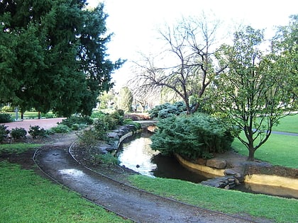
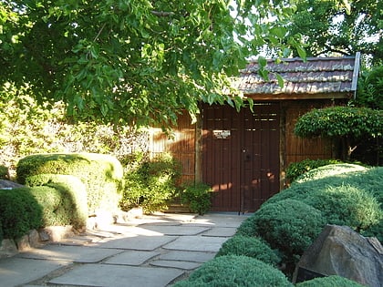
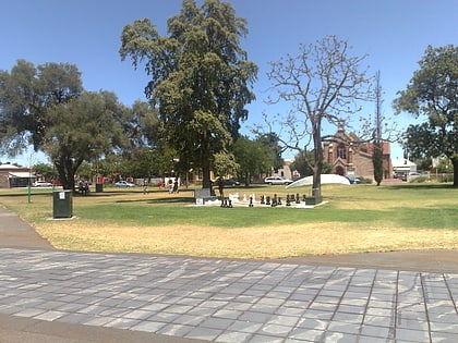
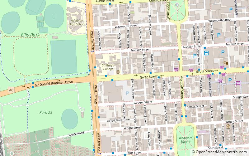
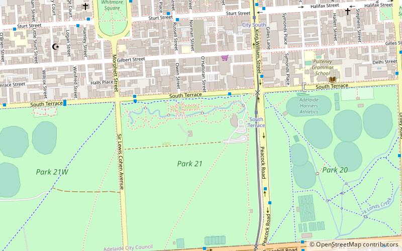
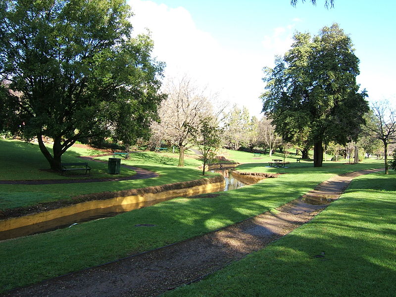
Veale Gardens is part of the Adelaide Parklands throughout and surrounding the City of Adelaide. It is located in the South Parklands surrounded by Greenhill and Peacock Roads, South Terrace, and Sir Lewis Cohen Avenue. The gardens can be entered by entrances on South Terrace. ()
Elevation: 171 ft a.s.l.Coordinates: 34°56'13"S, 138°35'53"E
Address
Adelaide (Adelaide Park Lands)Adelaide
ContactAdd
Social media
Add
Day trips
Veale Gardens – popular in the area (distance from the attraction)
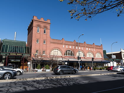
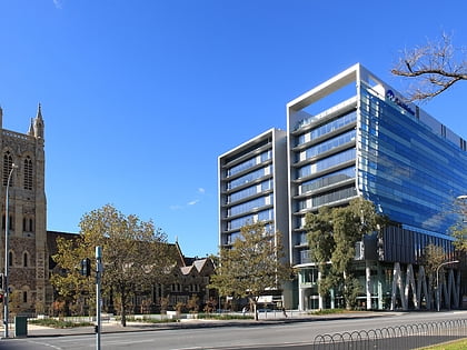
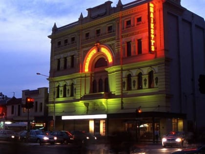
Nearby attractions include: Adelaide Central Market, St Francis Xavier's Cathedral, City Cross Arcade, Her Majesty's Theatre.
Frequently Asked Questions (FAQ)
When is Veale Gardens open?
Veale Gardens is open:
- Monday 8:30 am - 5:30 pm
- Tuesday 8:30 am - 5:30 pm
- Wednesday 8:30 am - 5:30 pm
- Thursday 8:30 am - 5:30 pm
- Friday 8:30 am - 5:30 pm
- Saturday closed
- Sunday closed
Which popular attractions are close to Veale Gardens?
Nearby attractions include Whitmore Square, Adelaide (10 min walk), Carrington Street, Adelaide (10 min walk), Adelaide City Mosque, Adelaide (10 min walk), Glover Playgrounds, Adelaide (11 min walk).
How to get to Veale Gardens by public transport?
The nearest stations to Veale Gardens:
Tram
Bus
Train
Tram
- South Terrace (4 min walk)
- City South (8 min walk)
Bus
- Stop VS3 Victoria Square - East side • Lines: 224, 224F, 224X (14 min walk)
- Stop U2 Victoria Square - North West side • Lines: 224, 224F, 224X (17 min walk)
Train
- Adelaide Parklands Terminal (25 min walk)
- Adelaide Showground (25 min walk)
