Brougham Place Uniting Church, Adelaide
Map

Map

Facts and practical information
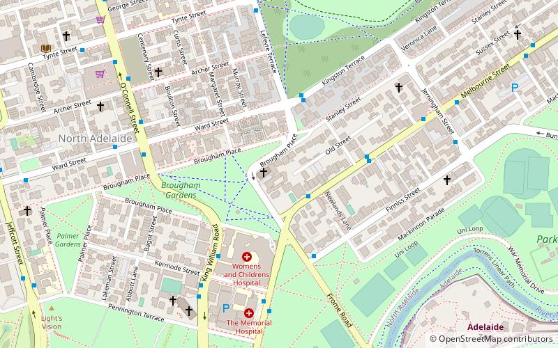
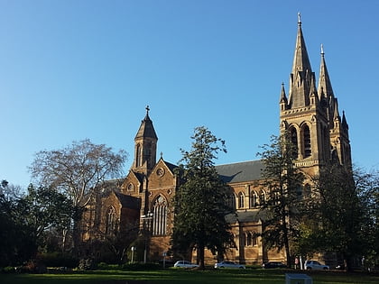
Brougham Place Uniting Church is a church on Brougham Place, North Adelaide, South Australia. It was formerly the North Adelaide Congregational Church. ()
Completed: 14 July 1872 (153 years ago)Coordinates: 34°54'34"S, 138°36'4"E
Day trips
Brougham Place Uniting Church – popular in the area (distance from the attraction)
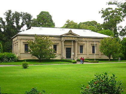
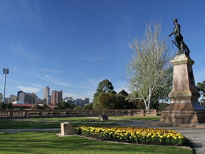
Nearby attractions include: Adelaide Oval, Adelaide Zoo, Museum of Economic Botany, Montefiore Hill.
Frequently Asked Questions (FAQ)
When is Brougham Place Uniting Church open?
Brougham Place Uniting Church is open:
- Monday 9 am - 12 pm
- Tuesday 9 am - 12 pm
- Wednesday closed
- Thursday 9 am - 12 pm
- Friday 9 am - 12 pm
- Saturday closed
- Sunday 10 am - 12 pm
Which popular attractions are close to Brougham Place Uniting Church?
Nearby attractions include TDRF Adelaide The David Roche Foundation House Museum, Adelaide (3 min walk), Brougham Place, Adelaide (3 min walk), Koala Farm, Adelaide (5 min walk), Friends Meeting House, Adelaide (8 min walk).
How to get to Brougham Place Uniting Church by public transport?
The nearest stations to Brougham Place Uniting Church:
Bus
Tram
Train
Bus
- Stop 3 O Connell Street - West side • Lines: 224, 224F, 224X (7 min walk)
- Stop 2 King William Road - West side • Lines: 224, 224F, 224X (7 min walk)
Tram
- Art Gallery (22 min walk)
- University (23 min walk)
Train
- Adelaide (22 min walk)
- North Adelaide (29 min walk)


