Glen Huntly Road, Melbourne
Map

Map

Facts and practical information
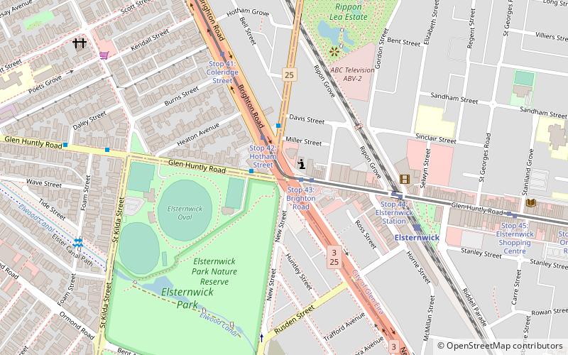
Glen Huntly Road is a main road in Melbourne, Victoria. It starts at Beach Road, Elwood, runs east–west through Elsternwick, Caulfield, Glen Huntly and ends in Carnegie. ()
Coordinates: 37°53'2"S, 144°59'49"E
Address
Port Phillip (Ripponlea)Melbourne
ContactAdd
Social media
Add
Day trips
Glen Huntly Road – popular in the area (distance from the attraction)
Nearby attractions include: Luna Park, Rippon Lea Estate, Palais Theatre, St Kilda Botanical Gardens.
Frequently Asked Questions (FAQ)
Which popular attractions are close to Glen Huntly Road?
Nearby attractions include Jewish Holocaust Centre, Melbourne (6 min walk), Rippon Lea Estate, Melbourne (8 min walk).
How to get to Glen Huntly Road by public transport?
The nearest stations to Glen Huntly Road:
Tram
Bus
Train
Tram
- Stop 43: Brighton Road • Lines: 67, 67d (1 min walk)
- Stop 42: Hotham Street • Lines: 67, 67d (2 min walk)
Bus
- Brighton Road • Lines: 603 (2 min walk)
- Elsternwick Station • Lines: 246, 603, 606 (6 min walk)
Train
- Elsternwick (7 min walk)
- Ripponlea (15 min walk)

 Melbourne Trams
 Victoria Trains


