Elwood Shule, Melbourne
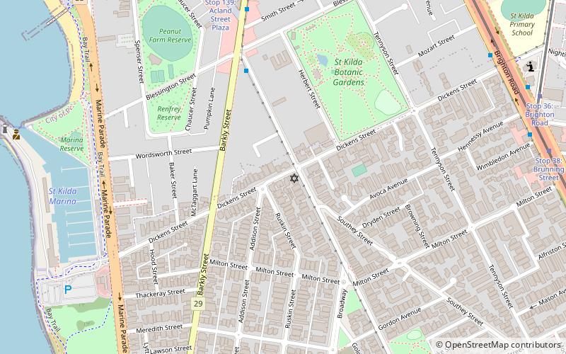
Map
Facts and practical information
The Elwood Talmud Torah Hebrew Congregation, also known as Elwood Synagogue or Elwood Shule, is a historically significant Orthodox synagogue located in the Melbourne suburb of Elwood, Victoria, Australia. The congregation played an important role in accommodating Melbourne's large population of Jewish Holocaust survivors following World War II. ()
Established: 1931 (95 years ago)Coordinates: 37°52'24"S, 144°58'55"E
Getting there by public transportation
Public transportation stops near this location
- Bus
- Tram
- Train
 Bus
Bus
- Calculate routeAcland Street 8 min walk
- Calculate routeDickens Street 11 min walk
- Calculate routeWimbledon Avenue 11 min walk
- Calculate routeBarkly Street 11 min walk
- Calculate routeStop 139: Acland Street Plaza 9 min walk
- Calculate routeStop 36: St Kilda Primary School 11 min walk
- Calculate routeStop 34: Greeves Street 11 min walk
- Calculate routeStop 37: Chapel Street 11 min walk
- Calculate routeBalaclava 18 min walk
- Calculate routeRipponlea 19 min walk
- Calculate routeElsternwick 34 min walk
Maps Melbourne TramsMaps
 Victoria Trains
Melbourne TramsMapsVictoria TrainsDay trips


Frequently Asked Questions (FAQ)
Which popular attractions are close to Elwood Shule?
Nearby attractions include St Kilda Botanical Gardens, Melbourne (6 min walk), National Theatre, Melbourne (12 min walk), St Kilda Town Hall, Melbourne (13 min walk), Palais Theatre, Melbourne (14 min walk).
How to get to Elwood Shule by public transport?
The nearest stations to Elwood Shule:
Bus
Tram
Train
Bus
- Acland Street • Lines: 246, 600, 606, 922, 923 (8 min walk)
- Dickens Street • Lines: 623 (11 min walk)
Tram
- Stop 139: Acland Street Plaza • Lines: 96, 96d (9 min walk)
- Stop 36: St Kilda Primary School • Lines: 67, 67d (11 min walk)
Train
- Balaclava (18 min walk)
- Ripponlea (19 min walk)