Ringwood–Belgrave Rail Trail, Melbourne

Gallery (1)
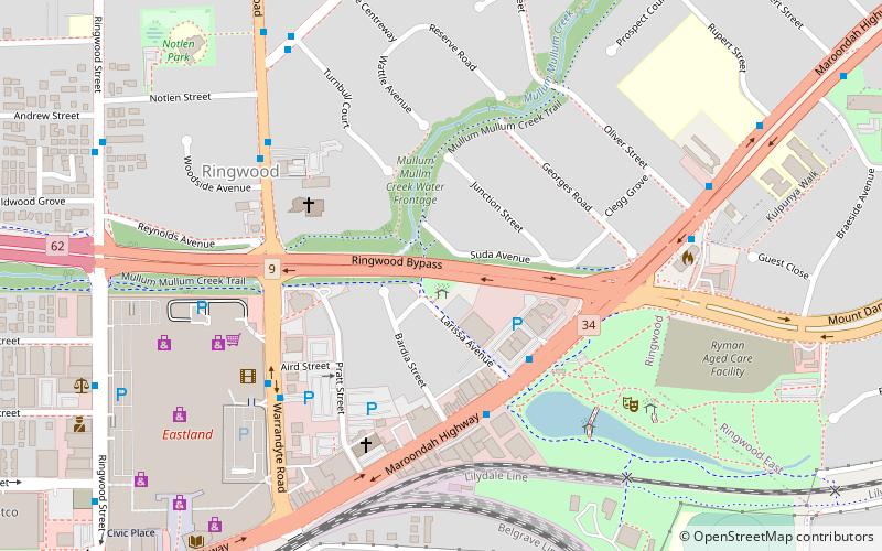
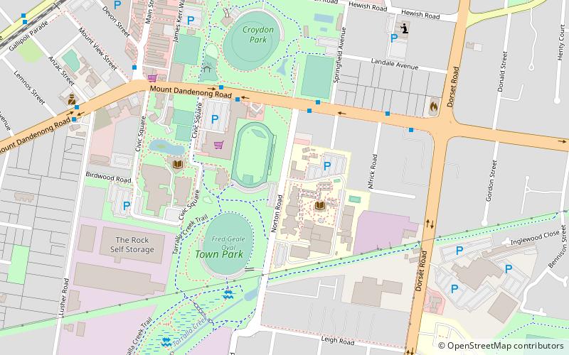
Map
Map
Facts and practical information
The Ringwood - Belgrave Rail Trail is a shared use path for cyclists and pedestrians, which follows the Belgrave railway line from the Mullum Mullum Creek Trail in Ringwood to Belgrave railway station in Belgrave, in the outer eastern suburbs of Melbourne, Victoria, Australia. ()
Coordinates: 37°48'39"S, 145°14'2"E
Address
Maroondah (Ringwood)Melbourne
ContactAdd
Social media
Add
Getting there by public transportation
Public transportation stops near this location
- Bus
- Train
 Bus
Bus
- Calculate routeLarissa Ave/Maroondah Hwy 4 min walk
- Calculate routeEastland SC/Warrandyte Rd 6 min walk
- Calculate routeWoodside Ave/Warrandyte Rd 6 min walk
- Calculate routeMt. Dandenong Rd/Maroondah Hwy 7 min walk
- Calculate routeRingwood 12 min walk
- Calculate routeRingwood East 23 min walk
- Calculate routeHeatherdale 31 min walk
Maps Melbourne TramsMaps
 Victoria Trains
Melbourne TramsMapsVictoria TrainsDay trips


Frequently Asked Questions (FAQ)
How to get to Ringwood–Belgrave Rail Trail by public transport?
The nearest stations to Ringwood–Belgrave Rail Trail:
Bus
Train
Bus
- Larissa Ave/Maroondah Hwy • Lines: 670 (4 min walk)
- Eastland SC/Warrandyte Rd • Lines: 271, 364, 370, 380, 684, 742 (6 min walk)
Train
- Ringwood (12 min walk)
- Ringwood East (23 min walk)