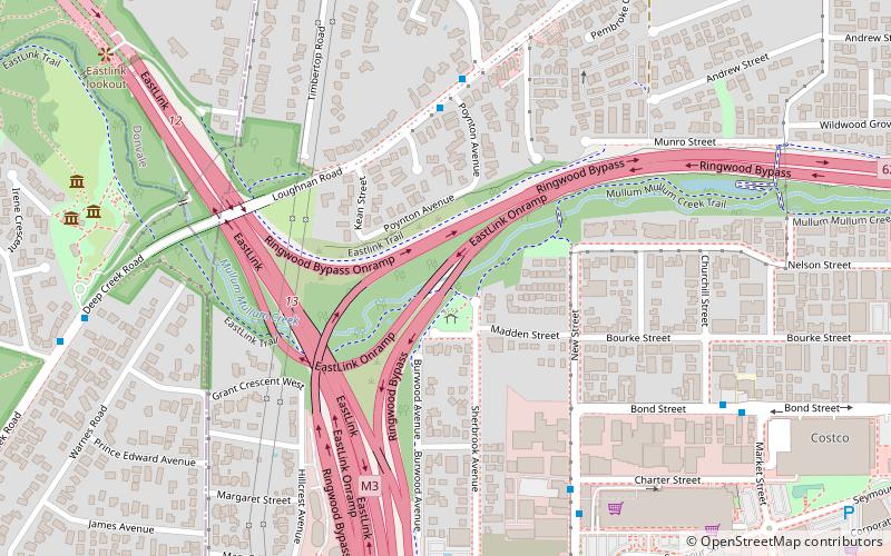
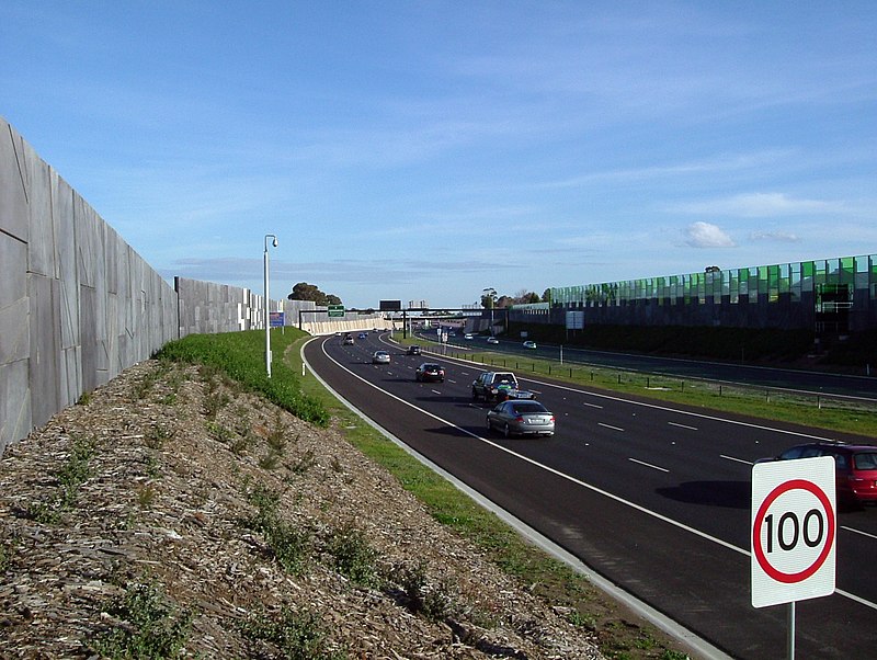
EastLink Trail, Melbourne
Map

Gallery

Facts and practical information
Coordinates: 37°48'43"S, 145°13'5"E
Day trips
EastLink Trail – popular in the area (distance from the attraction)
Nearby attractions include: Eastland Shopping Centre, Schwerkolt Cottage, Ringwood–Belgrave Rail Trail, Melbourne/Ringwood.
Frequently Asked Questions (FAQ)
How to get to EastLink Trail by public transport?
The nearest stations to EastLink Trail:
Bus
Train
Bus
- Poynton Ave/Loughnan Rd • Lines: 370 (5 min walk)
- Montalbo Rd/Loughnan Rd • Lines: 370 (6 min walk)
Train
- Heatherdale (13 min walk)
- Ringwood (17 min walk)

 Melbourne Trams
 Victoria Trains


