Victoria Quay, Perth
Map
Map

Facts and practical information
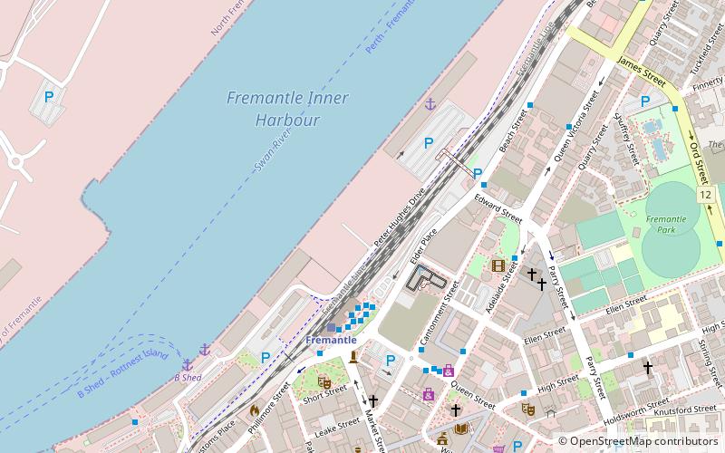
Victoria Quay is a wharf on the south bank of the Swan River mouth in the Western Australian port city of Fremantle. It is separated from the Fremantle CBD by the railway line. Originally named South Quay, it was renamed Victoria Quay on 26 July 1901 in honour of the late Queen Victoria. With North Quay it forms the Inner Harbour area of Fremantle Harbour. ()
Coordinates: 32°2'60"S, 115°44'46"E
Address
FremantlePerth
ContactAdd
Social media
Add
Day trips
Victoria Quay – popular in the area (distance from the attraction)
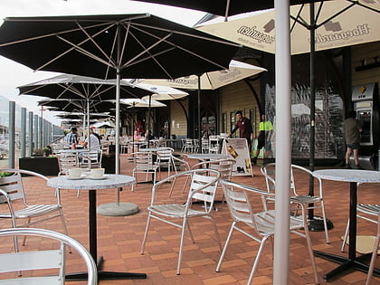
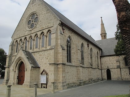
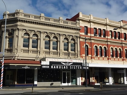
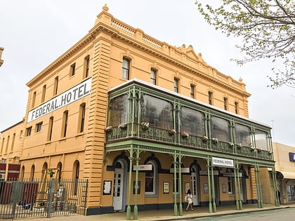
Nearby attractions include: E Shed Markets, St John's Anglican Church, Princess Theatre, Federal Hotel.
Frequently Asked Questions (FAQ)
Which popular attractions are close to Victoria Quay?
Nearby attractions include Spare Parts Puppet Theatre, Perth (6 min walk), St Patrick's Basilica, Perth (7 min walk), Princess Theatre, Perth (7 min walk), St John's Anglican Church, Perth (8 min walk).
How to get to Victoria Quay by public transport?
The nearest stations to Victoria Quay:
Bus
Train
Ferry
Bus
- Stand 13 • Lines: 502 (3 min walk)
- Stand 12 • Lines: 158 (4 min walk)
Train
- Fremantle (4 min walk)
Ferry
- B Shed • Lines: Express, SeaLink (8 min walk)
- Northport Rous Head • Lines: Express (25 min walk)

