Batemans Bay Marina, Batemans Bay

Gallery (1)
Map
Map
Facts and practical information
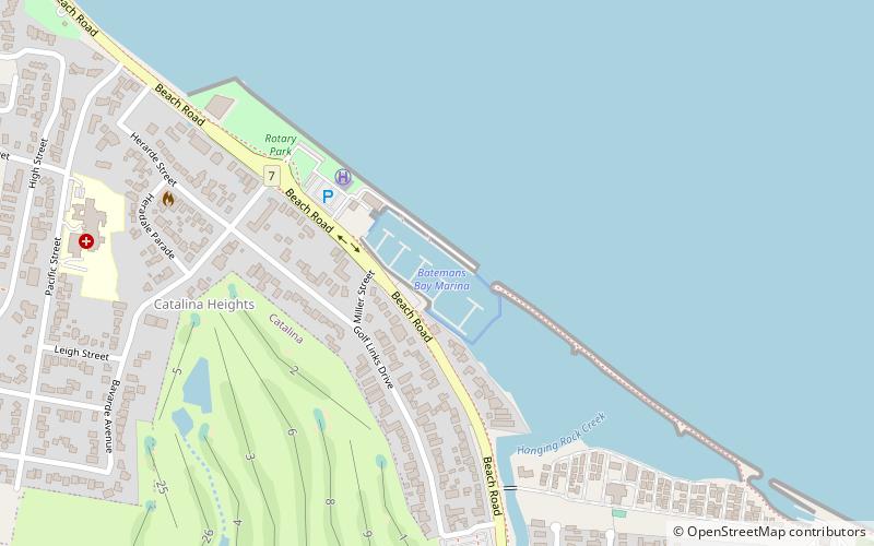
Batemans Bay Marina (address: 27 Beach Road) is a place located in Batemans Bay (New South Wales state) and belongs to the category of sailing, marina.
It is situated at an altitude of 7 feet, and its geographical coordinates are 35°42'52"S latitude and 150°11'20"E longitude.
Among other places and attractions worth visiting in the area are: Birdland Animal Park (nature and wildlife, 19 min walk), Clyde River National Park (national park, 84 min walk), Gold Rush Colony, Mogo (theme park, 135 min walk).
Coordinates: 35°42'52"S, 150°11'20"E
Day trips


