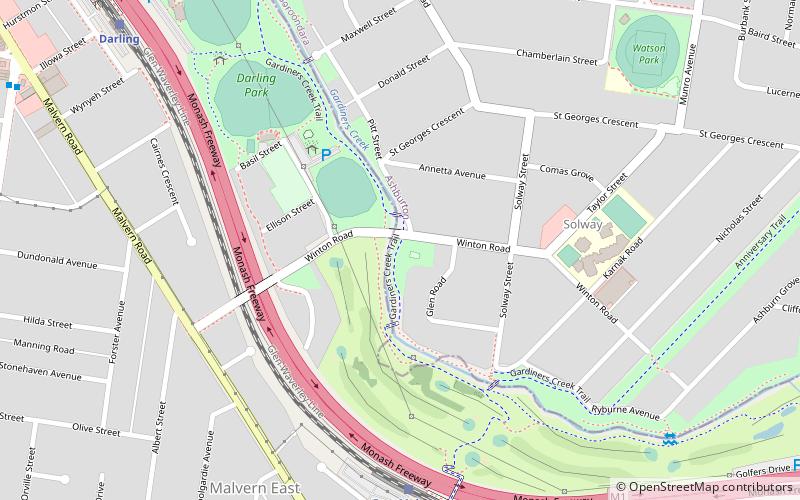
Scotchmans Creek Trail, Melbourne
Map

Map

Facts and practical information
Coordinates: 37°52'22"S, 145°4'8"E
Address
Boroondara (Ashburton)Melbourne
ContactAdd
Social media
Add
Day trips
Scotchmans Creek Trail – popular in the area (distance from the attraction)
Nearby attractions include: Chadstone Shopping Centre, Hedgeley Dene Gardens, Carnegie Central Shopping Centre, Ferndale Park Trail.
Frequently Asked Questions (FAQ)
How to get to Scotchmans Creek Trail by public transport?
The nearest stations to Scotchmans Creek Trail:
Train
Bus
Tram
Train
- East Malvern (8 min walk)
- Darling (11 min walk)
Bus
- Waverley Road • Lines: 624 (16 min walk)
- Bruce Street/Dandenong Road • Lines: 623, 624, 626, 822, Bus 627 (21 min walk)
Tram
- Stop 64: Darling Road • Lines: 3, 3a, 3d (17 min walk)
- Stop 63: Oak Grove • Lines: 3 (19 min walk)

 Melbourne Trams
 Victoria Trains


