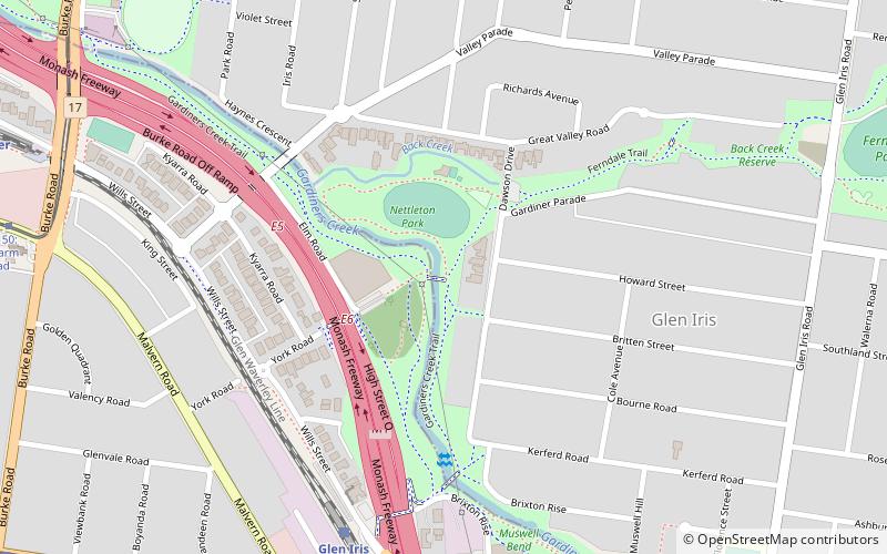
Ferndale Park Trail, Melbourne
Map
Facts and practical information
The Ferndale Park Trail is a shared use path for cyclists and pedestrians in the suburb of Glen Iris, an inner eastern suburb of Melbourne, Victoria. ()
Coordinates: 37°51'19"S, 145°3'36"E
Address
Boroondara (Glen Iris)Melbourne
ContactAdd
Social media
Add
Getting there by public transportation
Public transportation stops near this location
- Bus
- Tram
- Train
 Bus
Bus
- Calculate routeGlen Iris 8 min walk
- Calculate routeGardiner 13 min walk
- Calculate routeDarling 25 min walk
- Calculate routeTooronga 28 min walk
- Calculate routeStop 53: Malvern Road 10 min walk
- Calculate routeStop 51: Gardiner Station, Monash Freeway 11 min walk
- Calculate routeStop 52: Boyanda Road 12 min walk
- Calculate routeStop 50: Glenarm Road 12 min walk
- Calculate routeHarold Avenue 22 min walk
- Calculate routeCentral Park 24 min walk
- Calculate routeMalvern Road 26 min walk
Maps Melbourne TramsMaps
 Victoria Trains
Melbourne TramsMapsVictoria TrainsDay trips


Frequently Asked Questions (FAQ)
How to get to Ferndale Park Trail by public transport?
The nearest stations to Ferndale Park Trail:
Train
Tram
Bus
Train
- Glen Iris (8 min walk)
- Gardiner (13 min walk)
Tram
- Stop 53: Malvern Road • Lines: 6, 6d (10 min walk)
- Stop 51: Gardiner Station, Monash Freeway • Lines: 72, 72a, 72d (11 min walk)
Bus
- Harold Avenue • Lines: 624 (22 min walk)
- Central Park • Lines: 624 (24 min walk)