Sydney/The Rocks, Sydney
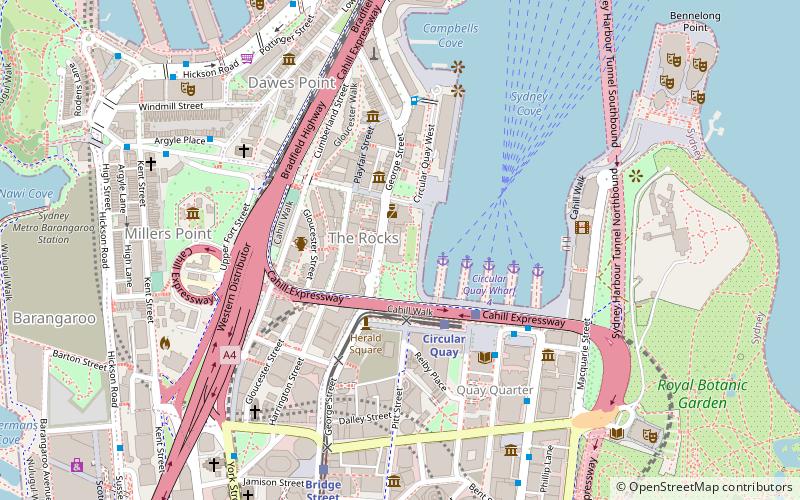
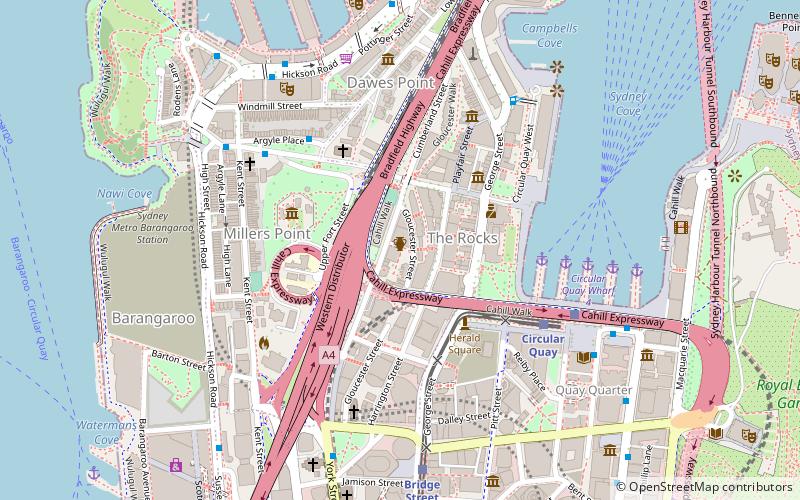
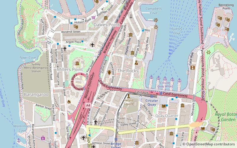
Map
Gallery
Facts and practical information
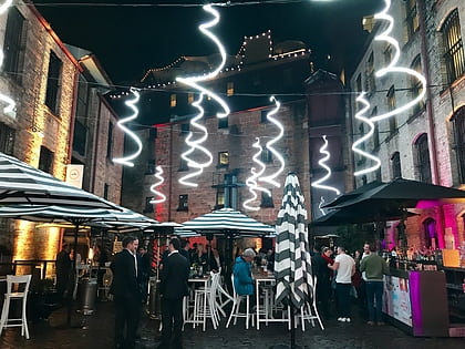
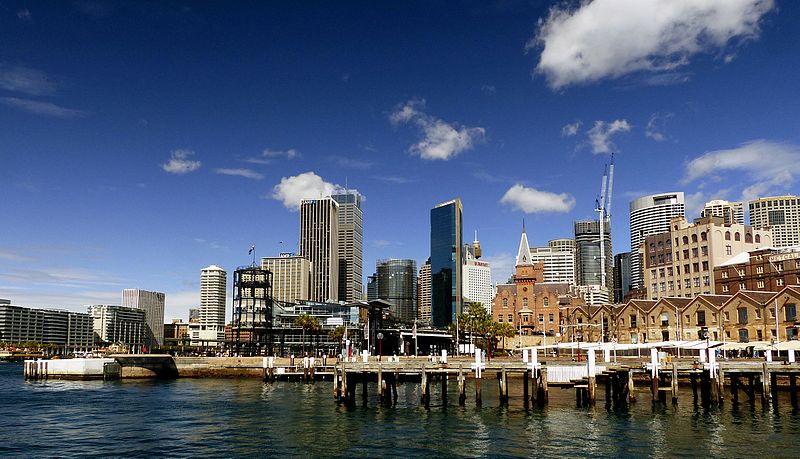
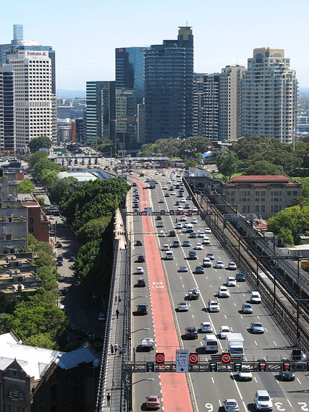
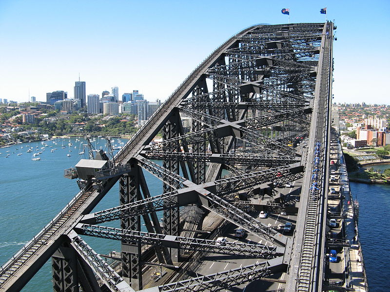
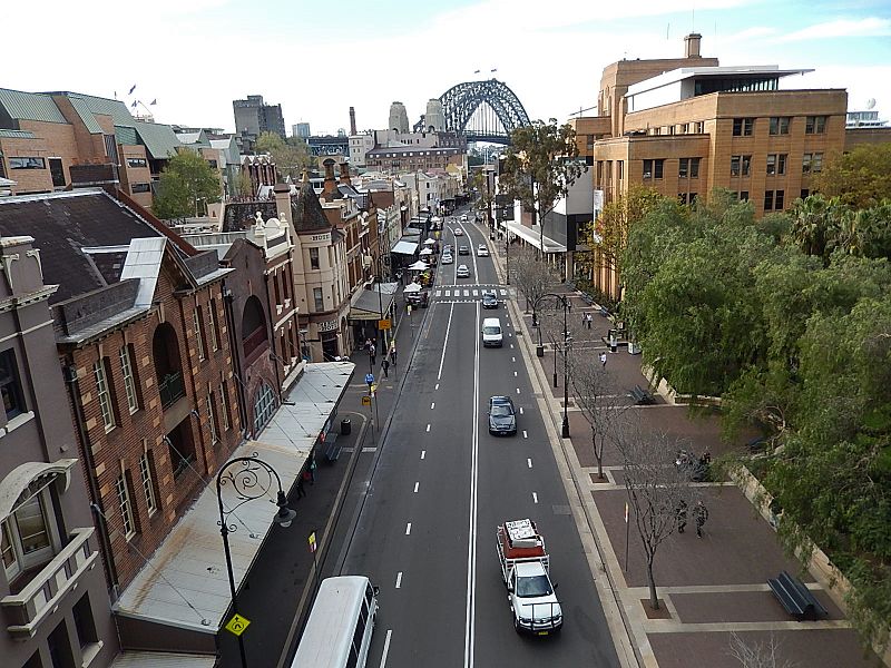
The Rocks is an urban locality, tourist precinct and historic area of Sydney's city centre, in the state of New South Wales, Australia. It is located on the southern shore of Sydney Harbour, immediately north-west of the Sydney central business district. ()
Day trips
Sydney/The Rocks – popular in the area (distance from the attraction)
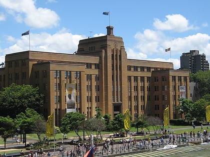
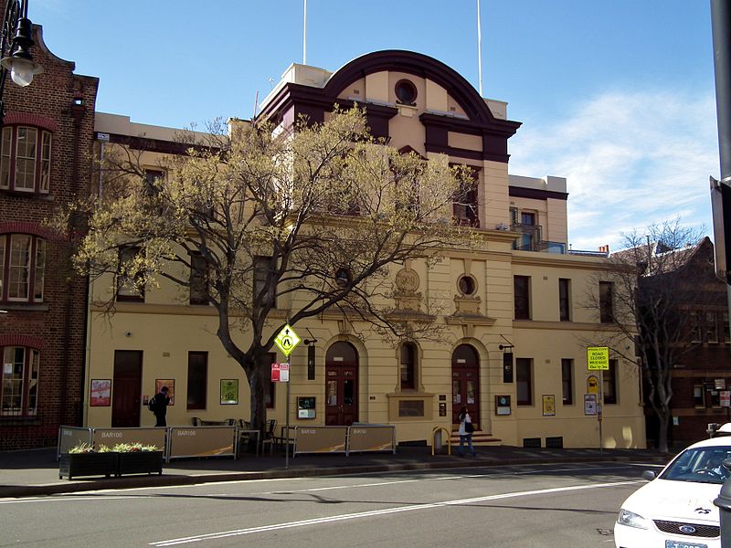
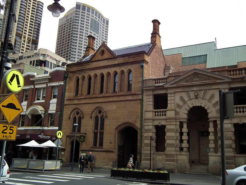
Nearby attractions include: Argyle Stores, Museum of Contemporary Art, The Argyle, Fortune of War.
Frequently Asked Questions (FAQ)
Which popular attractions are close to Sydney/The Rocks?
Nearby attractions include 61-65 Harrington Street, Sydney (1 min walk), 55-59 Harrington Street, Sydney (1 min walk), 121 George Street, Sydney (1 min walk), 105 George Street, Sydney (1 min walk).
How to get to Sydney/The Rocks by public transport?
The nearest stations to Sydney/The Rocks:
Ferry
Light rail
Train
Bus
Ferry
- Circular Quay Wharf 5 • Lines: F3, F4 (4 min walk)
- Circular Quay Wharf 4 • Lines: F5, F6 (5 min walk)
Light rail
- Circular Quay • Lines: L2, L3 (5 min walk)
- Bridge Street • Lines: L2, L3 (8 min walk)
Train
- Circular Quay (5 min walk)
- Wynyard (12 min walk)
Bus
- Stand A, Circular Quay, Alfred Street • Lines: 302, 303, 326 (7 min walk)
- Circular Quay • Lines: 302, 303 (7 min walk)



 Sydney Trains
 Sydney Light Rail
 Sydney Ferries