The Big Dig, Sydney
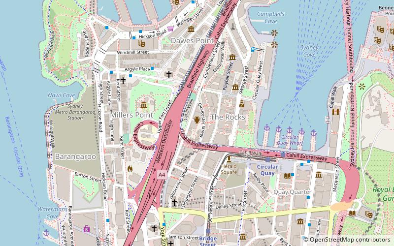
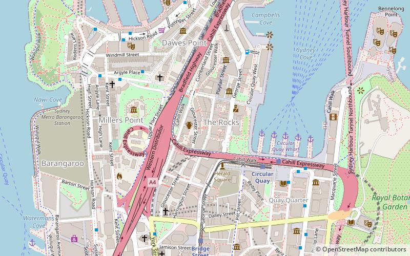
Map
Facts and practical information
The Cumberland Street Archaeological Site is a heritage-listed archaeological site located at 106–128 Cumberland Street in the inner-city Sydney suburb of The Rocks in the City of Sydney local government area of New South Wales, Australia. The site includes the remains of early convict-era housing dating as far back as 1795, and a modern youth hostel has been built elevated over the remnants. It is also known as The Big Dig Site, Sydney YHA, and the Big Dig Education Centre. The property is owned by Property NSW, an agency of the Government of New South Wales, and it was added to the New South Wales State Heritage Register on 17 December 2010. ()
Coordinates: 33°51'37"S, 151°12'25"E
Address
Central Business District (Circular Quay)Sydney
Contact
+61 2832720900
Social media
Add
Getting there by public transportation
Public transportation stops near this location
- Bus
- Light rail
- Train
- Ferry
 Bus
Bus
- Calculate routeCircular Quay 6 min walk
- Calculate routeBridge Street 7 min walk
- Calculate routeWynyard 12 min walk
- Calculate routeQvb 21 min walk
- Calculate routeCircular Quay Wharf 5 6 min walk
- Calculate routeCircular Quay Wharf 4 6 min walk
- Calculate routeCircular Quay Wharf 3 7 min walk
- Calculate routeCircular Quay Wharf 2 8 min walk
- Calculate routeCircular Quay 6 min walk
- Calculate routeWynyard 11 min walk
- Calculate routeMartin Place 15 min walk
- Calculate routeSt James 21 min walk
- Calculate routeLang Park 7 min walk
- Calculate routeStand A, Circular Quay, Alfred Street 8 min walk
- Calculate routeCircular Quay 8 min walk
- Calculate routeStand C, Phillip Street 9 min walk
Maps Sydney TrainsMaps
 Sydney Light RailMaps
 Sydney Ferries
Sydney TrainsMapsSydney Light RailMapsSydney FerriesDay trips


Frequently Asked Questions (FAQ)
Which popular attractions are close to The Big Dig?
Nearby attractions include Susannah Place Museum, Sydney (1 min walk), Jobbins Terrace, Sydney (1 min walk), 113-115 Gloucester Street, Sydney (1 min walk), 46-56 Gloucester Street, Sydney (1 min walk).
How to get to The Big Dig by public transport?
The nearest stations to The Big Dig:
Light rail
Ferry
Train
Bus
Light rail
- Circular Quay • Lines: L2, L3 (6 min walk)
- Bridge Street • Lines: L2, L3 (7 min walk)
Ferry
- Circular Quay Wharf 5 • Lines: F3, F4 (6 min walk)
- Circular Quay Wharf 4 • Lines: F5, F6 (6 min walk)
Train
- Circular Quay (6 min walk)
- Wynyard (11 min walk)
Bus
- Lang Park • Lines: 290 (7 min walk)
- Stand A, Circular Quay, Alfred Street • Lines: 302, 303, 326 (8 min walk)