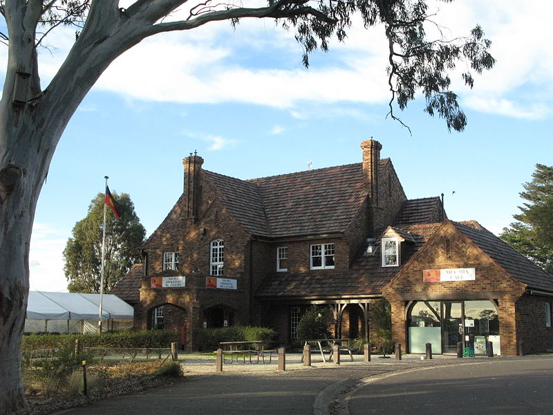
Westerfolds Park, Melbourne

Gallery (4)
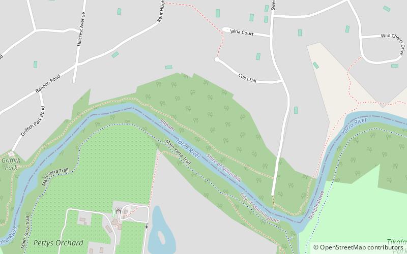
Map

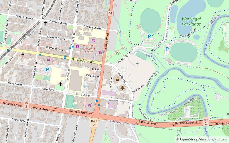
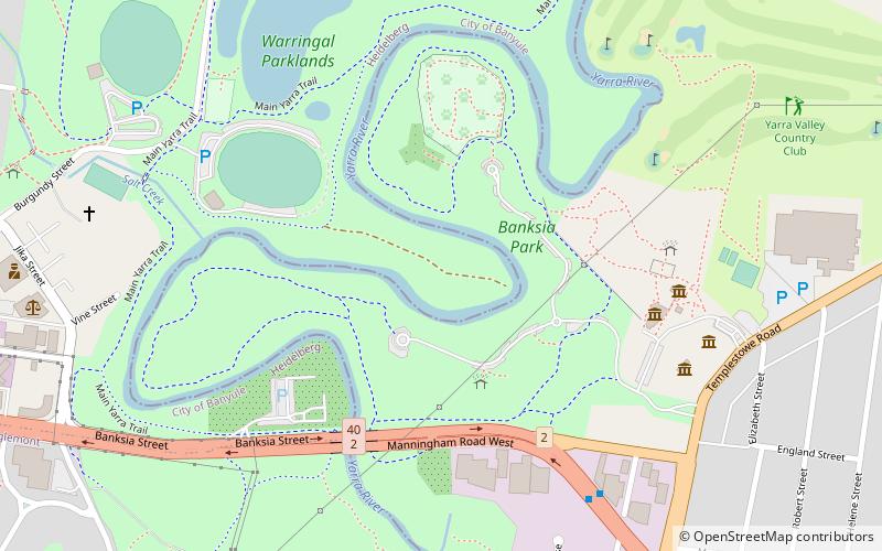
Map
Gallery
Facts and practical information
Westerfolds Park is a metropolitan park situated in Templestowe, an eastern suburb of Melbourne, Australia. ()
Opened: 1977 (49 years ago)Elevation: 121 ft a.s.l.Coordinates: 37°44'45"S, 145°7'41"E
Getting there by public transportation
Public transportation stops near this location
- Bus
 Bus
Bus
- Calculate routeWesterfolds Park 12 min walk
- Calculate routeSummerhill Road 12 min walk
- Calculate routeParkwood Place 14 min walk
- Calculate routeWilliamsons Road 15 min walk
Maps Melbourne TramsMaps
 Victoria Trains
Melbourne TramsMapsVictoria TrainsDay trips


Frequently Asked Questions (FAQ)
How to get to Westerfolds Park by public transport?
The nearest stations to Westerfolds Park:
Bus
Bus
- Westerfolds Park • Lines: 293, 901, 902 (12 min walk)
- Summerhill Road • Lines: 293, 901, 902 (12 min walk)