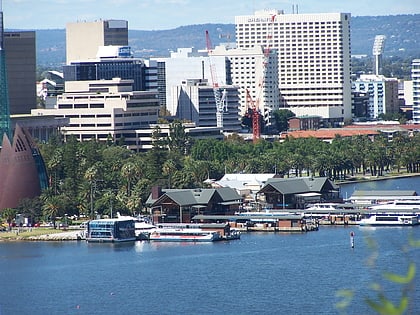
State War Memorial, Perth

Facts and practical information
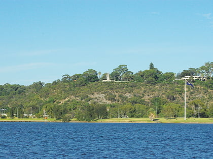
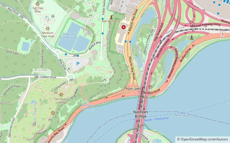
State War Memorial (address: Kings Park) is a place located in Perth (Western Australia state) and belongs to the category of memorial, monuments and statues.
It is situated at an altitude of 161 feet, and its geographical coordinates are 31°57'39"S latitude and 115°50'42"E longitude.
Planning a visit to this place, one can easily and conveniently get there by public transportation. State War Memorial is a short distance from the following public transport stations: Havelock Street (bus, 13 min walk), Elizabeth Quay (train, 17 min walk), Elizabeth Quay Ferry Terminal (ferry, 18 min walk).
Among other places and attractions worth visiting in the area are: Mount Eliza (lake, 1 min walk), Narrows Bridge (bridge, 6 min walk), Gija Jumulu (tree, 7 min walk).
State War Memorial – popular in the area (distance from the attraction)
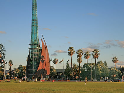
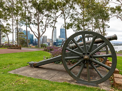
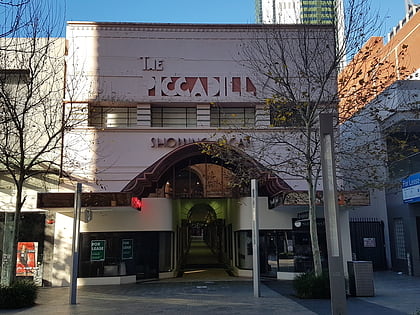
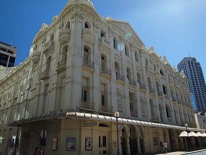
Nearby attractions include: Mount Eliza, Swan Bells, Kings Park, Piccadilly Theatre and Arcade.
Frequently Asked Questions (FAQ)
Which popular attractions are close to State War Memorial?
How to get to State War Memorial by public transport?
Bus
- Havelock Street • Lines: 5F, 5T (13 min walk)
- Harvest Terrace • Lines: 5F, 5T (15 min walk)
Train
- Elizabeth Quay (17 min walk)
- City West (29 min walk)
Ferry
- Elizabeth Quay Ferry Terminal • Lines: Transperth Ferry - Elizabeth Qua, Transperth Ferry - Mends Street (18 min walk)
- Barrack Street Jetty • Lines: Express (21 min walk)

