Seymour Centre, Sydney
Map

Map

Facts and practical information
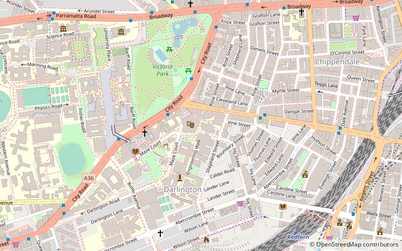
The Seymour Centre is a multi-purpose performing arts centre within the University of Sydney in the Australian city of Sydney. It is located on the corner of City Rd and Cleveland St in Chippendale, just south-west of the city centre. ()
Coordinates: 33°53'19"S, 151°11'38"E
Day trips
Seymour Centre – popular in the area (distance from the attraction)
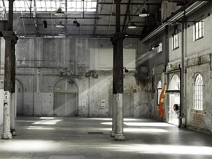
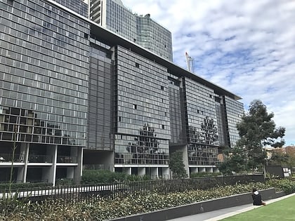
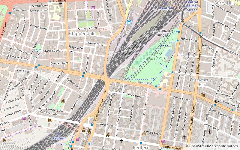
Nearby attractions include: Carriageworks, Broadway Shopping Centre, Central Park, Wentworth Park.
Frequently Asked Questions (FAQ)
When is Seymour Centre open?
Seymour Centre is open:
- Monday 9 am - 6 pm
- Tuesday 9 am - 6 pm
- Wednesday 9 am - 6 pm
- Thursday 9 am - 6 pm
- Friday 9 am - 6 pm
- Saturday 9 am - 6 pm
- Sunday closed
Which popular attractions are close to Seymour Centre?
Nearby attractions include City Road, Sydney (4 min walk), Victoria Park, Sydney (5 min walk), University of Sydney Library, Sydney (6 min walk), Chippendale Cellars, Sydney (8 min walk).
How to get to Seymour Centre by public transport?
The nearest stations to Seymour Centre:
Bus
Train
Light rail
Bus
- Glebe, Glebe Point Road at Broadway • Lines: 431, 433 (8 min walk)
- Broadway Shopping Centre, Broadway • Lines: 431, 433, 438 (9 min walk)
Train
- Redfern (10 min walk)
- Central (19 min walk)
Light rail
- Paddy's Markets • Lines: L1 (21 min walk)
- Haymarket • Lines: L2, L3 (21 min walk)

 Sydney Trains
 Sydney Light Rail
 Sydney Ferries


