UTS Tower, Sydney
Map
Gallery
Facts and practical information
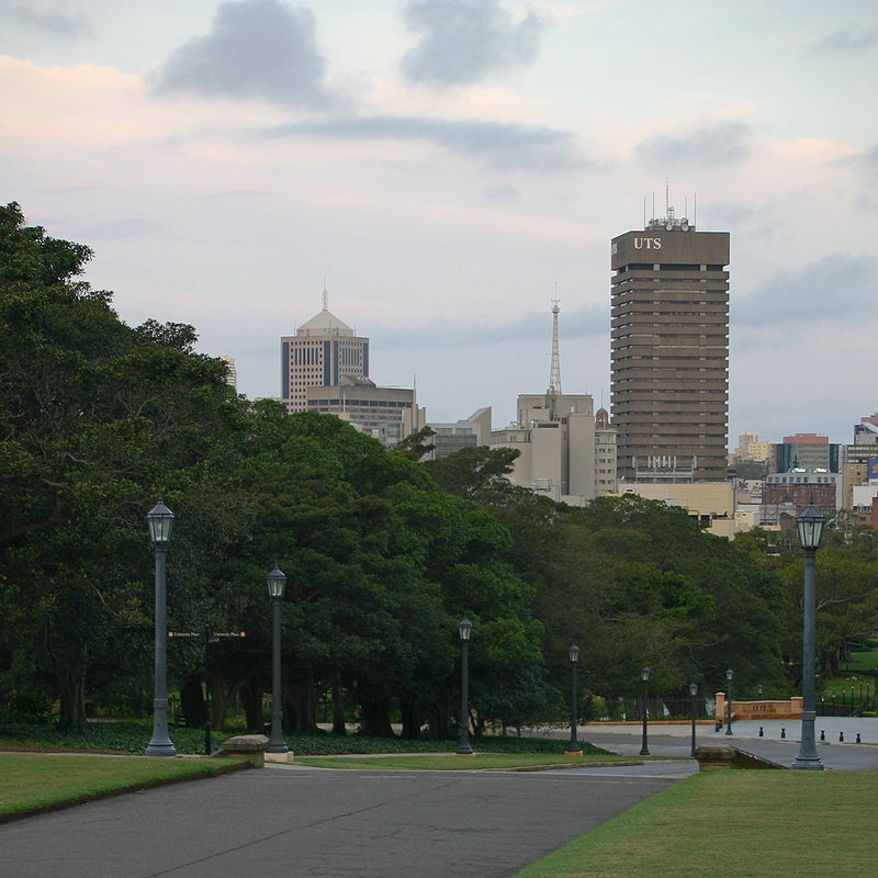
UTS Building 1, also known as the UTS Tower, is prominent landmark on Broadway at the southern gateway to Sydney's central business district. Many of the administrative units of the University of Technology, Sydney are located across the building's 27 occupied floors. Completed in 1979 in the brutalist architectural style from a 1968 plan by Michael Dysart of the NSW Government Architect's Office, the Tower was officially opened by NSW Premier Neville Wran. ()
Architectural style: BrutalismElevation: 92 ft a.s.l.Coordinates: 33°52'59"S, 151°12'1"E
Address
South Sydney (Haymarket)Sydney
ContactAdd
Social media
Add
Day trips
UTS Tower – popular in the area (distance from the attraction)
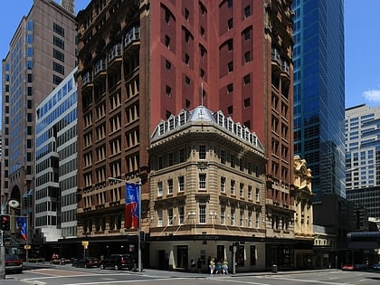
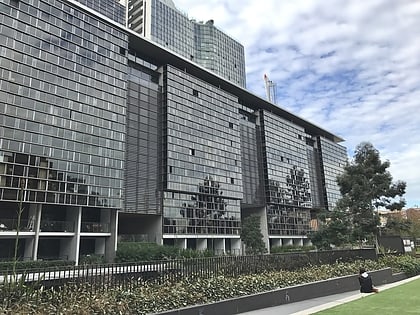
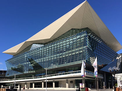
Nearby attractions include: Castlereagh Street, Broadway Shopping Centre, Central Park, International Convention Centre Sydney.
Frequently Asked Questions (FAQ)
Which popular attractions are close to UTS Tower?
Nearby attractions include Central Park, Sydney (3 min walk), The Goods Line, Sydney (3 min walk), Ultimo Road railway underbridge, Sydney (5 min walk), Dr Chau Chak Wing Building, Sydney (5 min walk).
How to get to UTS Tower by public transport?
The nearest stations to UTS Tower:
Bus
Train
Light rail
Ferry
Bus
- University of Technology Sydney, Broadway • Lines: 431, 433, 438 (3 min walk)
- Stand M, Central Station, Railway Square • Lines: 300, 431, 433 (5 min walk)
Train
- Central (8 min walk)
- Redfern (17 min walk)
Light rail
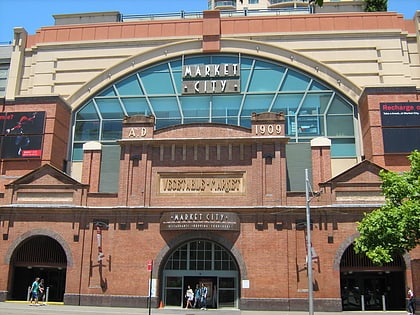
- Paddy's Markets • Lines: L1 (8 min walk)
- Haymarket • Lines: L2, L3 (8 min walk)
Ferry
- Pyrmont Bay Wharf • Lines: F4, Ferry (27 min walk)
- Darling Harbour Wharf 1 (30 min walk)

 Sydney Trains
 Sydney Light Rail
 Sydney Ferries