Sassafras
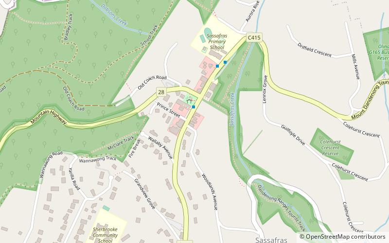
Map

Map

Facts and practical information
Sassafras is a locality and township within Greater Melbourne, beyond the Melbourne metropolitan area Urban Growth Boundary, 43 km east of Melbourne's Central Business District, located within the City of Knox and Shire of Yarra Ranges local government areas. Sassafras recorded a population of 1,061 at the 2016 Census. ()
Population: 1 thous.Coordinates: 37°51'49"S, 145°21'12"E
Location
Victoria
ContactAdd
Social media
Add
Day trips
Sassafras – popular in the area (distance from the attraction)
Nearby attractions include: Puffing Billy Railway, Tarralla Creek Trail, Mount Dandenong, Dandenong Creek Trail.


