Mount Evelyn Aqueduct Walk

Map
Facts and practical information
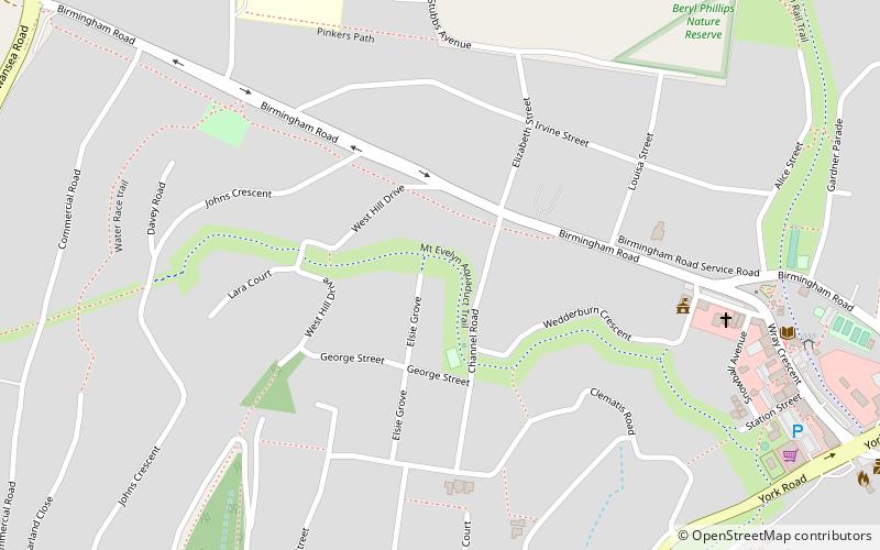
The Mount Evelyn Aqueduct Walk uses part of the Mount Evelyn Aqueduct which once cut the town of Mount Evelyn, Victoria, Australia, in two. The Aqueduct was decommissioned on 7 February 1972, but the high costs of purchase and filling caused Lillydale Council to repeatedly defer negotiations to purchase the land from the Melbourne and Metropolitan Board of Works. ()
Coordinates: 37°47'3"S, 145°22'19"E
Location
Victoria
ContactAdd
Social media
Add
Day trips
Mount Evelyn Aqueduct Walk – popular in the area (distance from the attraction)
Nearby attractions include: Chirnside Park Shopping Centre, Tarralla Creek Trail, Mount Dandenong, Lillydale Lake.


