Tarneit

Gallery (1)
Map
Map
Facts and practical information
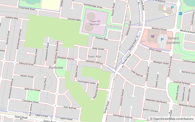
Tarneit is a western suburb of Melbourne, Victoria, Australia, located 25 kilometres from central business district, located within the City of Wyndham local government area, nearby another emerging suburb at Truganina. Tarneit recorded a population of 34,562 at the 2016 Census, and is estimated to increase to over 63,000 by 2031. ()
Population: 34.4 thous.Coordinates: 37°50'30"S, 144°40'8"E
Location
Victoria
ContactAdd
Social media
Add
Day trips