Blackwattle Bay, Sydney
Map
Gallery
Facts and practical information
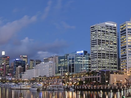
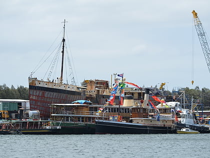
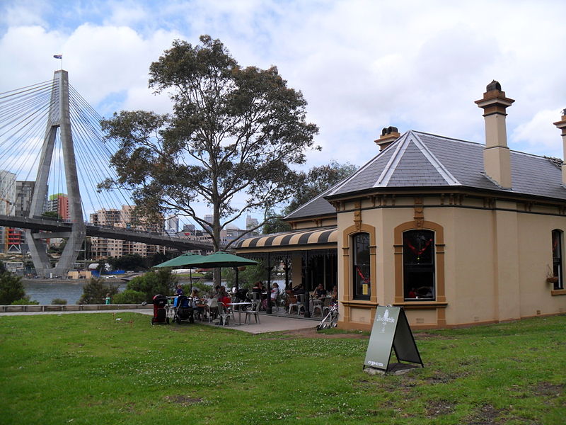
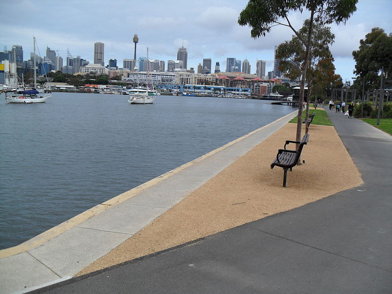
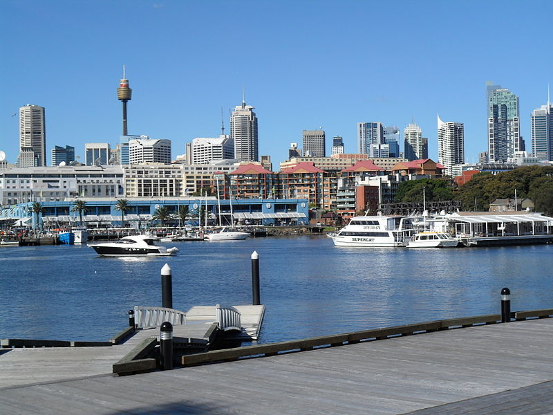
Blackwattle Bay is a bay located to the south–east of Glebe Island and east of Rozelle Bay on Sydney Harbour, in New South Wales, Australia. The bay was named in 1788 after the Black Wattle tree found at the bay, which was used for housing construction. ()
Coordinates: 33°52'20"S, 151°11'18"E
Address
Sydney
ContactAdd
Social media
Add
Day trips
Blackwattle Bay – popular in the area (distance from the attraction)
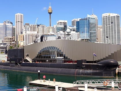
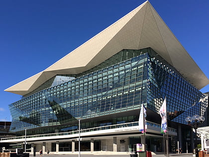
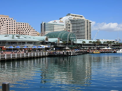
Nearby attractions include: Broadway Shopping Centre, Darling Harbour, Australian National Maritime Museum, Rozelle Tram Depot.
Frequently Asked Questions (FAQ)
Which popular attractions are close to Blackwattle Bay?
Nearby attractions include Anzac Bridge, Sydney (8 min walk), Glebe Island Bridge, Sydney (8 min walk), Pyrmont, Sydney (11 min walk), Wentworth Park, Sydney (12 min walk).
How to get to Blackwattle Bay by public transport?
The nearest stations to Blackwattle Bay:
Ferry
Light rail
Bus
Train
Ferry
- Blackwattle Bay Wharf (5 min walk)
- Pyrmont Bay Wharf • Lines: F4, Ferry (18 min walk)
Light rail
- Fish Market • Lines: L1 (7 min walk)
- Glebe • Lines: L1 (9 min walk)
Bus
- Mount St (9 min walk)
- Glebe Point Rd after Cook St • Lines: 431 (9 min walk)
Train
- Town Hall (28 min walk)
- Wynyard (28 min walk)



 Sydney Trains
 Sydney Light Rail
 Sydney Ferries
