Caledonian Lane, Melbourne

Map
Facts and practical information
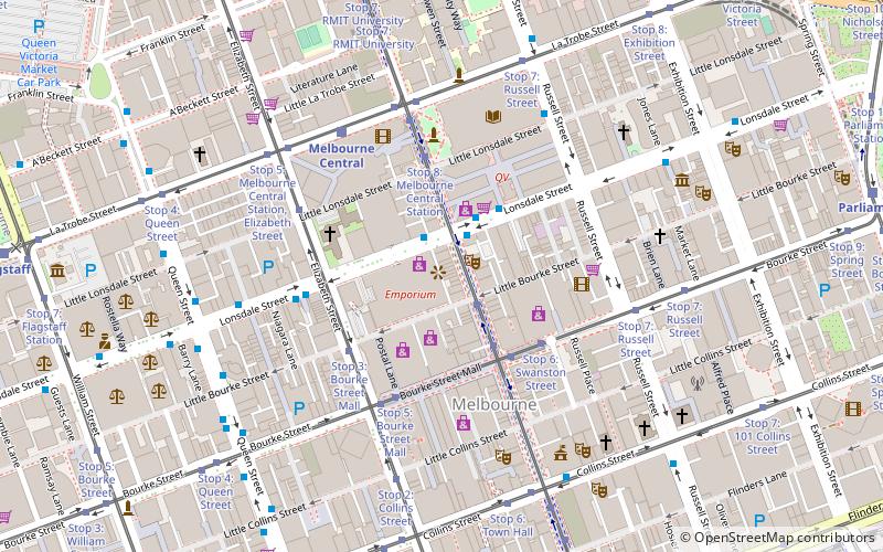
Caledonian Lane is a street in Melbourne. It is a short, quiet and narrow open laneway, running between Little Bourke Street and Lonsdale Street in the central business district of Melbourne. ()
Coordinates: 37°48'44"S, 144°57'52"E
Address
City of Melbourne (Melbourne CBD)Melbourne
ContactAdd
Social media
Add
Day trips
Caledonian Lane – popular in the area (distance from the attraction)
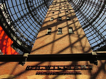
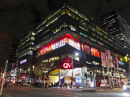
Nearby attractions include: Bourke Street Mall, Melbourne Central, Emporium Melbourne, Royal Arcade.
Frequently Asked Questions (FAQ)
Which popular attractions are close to Caledonian Lane?
Nearby attractions include Curtin House, Melbourne (1 min walk), Rooftop Cinema, Melbourne (1 min walk), Lonsdale Street, Melbourne (2 min walk), RMIT Gallery, Melbourne (3 min walk).
How to get to Caledonian Lane by public transport?
The nearest stations to Caledonian Lane:
Bus
Tram
Train
Ferry
Bus
- Melbourne Central/Lonsdale Street • Lines: 200, 207, 250, 251, 303, 350 (2 min walk)
- Tattersalls Lane/Lonsdale Street • Lines: 303 (3 min walk)
Tram
- Stop 10: Bourke Street Mall • Lines: 1, 16, 16d, 3, 3a, 5, 6, 64, 64d, 67, 67d, 6d, 72 (2 min walk)
- Stop 6: Swanston Street • Lines: 86, 86a, 86d, 96, 96d (4 min walk)
Train
- Melbourne Central (5 min walk)
- Flinders Street (11 min walk)
Ferry
- Port Phillip Ferries (29 min walk)
 Melbourne Trams
 Victoria Trains


