Caxton Street, Brisbane
Map

Map

Facts and practical information
Caxton Street is a street in the Brisbane suburb of Petrie Terrace in Queensland, Australia. It forms part of the Petrie Terrace Heritage Trail. ()
Coordinates: 27°27'52"S, 153°0'46"E
Address
Petrie TerraceBrisbane
ContactAdd
Social media
Add
Day trips
Caxton Street – popular in the area (distance from the attraction)
Nearby attractions include: Gallery of Modern Art, Brisbane Arcade, Roma Street Parkland, Suncorp Stadium.
Frequently Asked Questions (FAQ)
Which popular attractions are close to Caxton Street?
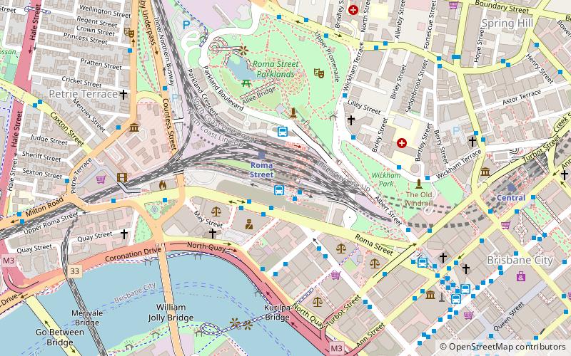
Nearby attractions include The Barracks, Brisbane (2 min walk), La Boite Theatre Building, Brisbane (4 min walk), Suncorp Stadium, Brisbane (5 min walk), Christ Church, Brisbane (6 min walk).
How to get to Caxton Street by public transport?
The nearest stations to Caxton Street:
Bus
Train
Ferry
Bus
- Caxton Street near Chapel Street stop 4 • Lines: 476, 61 (3 min walk)
- Upper Roma St near Quay St, stop 3 • Lines: 470, 475, 476 (4 min walk)
Train
- Roma Street (9 min walk)
- Milton (15 min walk)
Ferry
- North Quay 1 • Lines: Chop-400, Uqsl-1410 (21 min walk)
- North Quay 2 • Lines: Chop-400 (22 min walk)


