Courts Island, South Bruny National Park

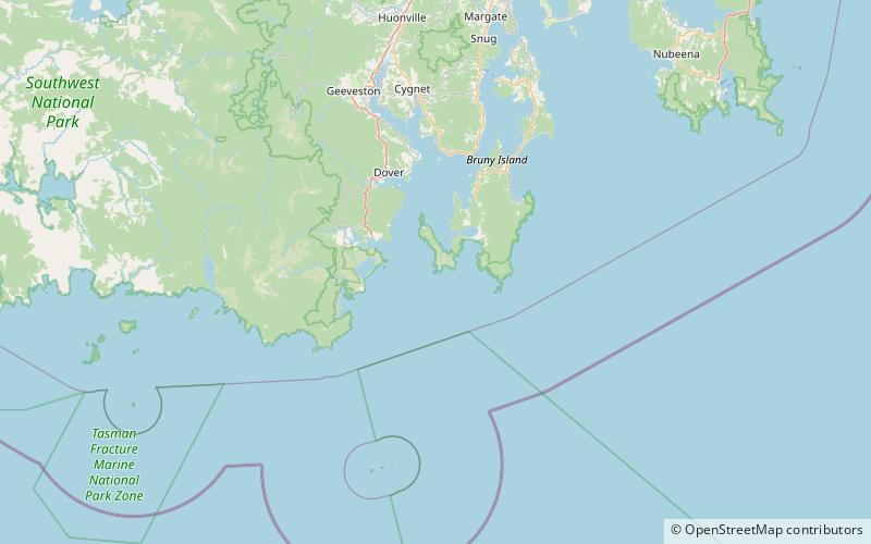
Map
Facts and practical information
Courts Island is a dolerite island with an area of 15.83 ha in south-eastern Australia. It is part of the Actaeon Island Group, lying close to the south-eastern coast of Tasmania, at the southern entrance to the D'Entrecasteaux Channel between Bruny Island and the mainland. It is connected to Bruny Island by a spit at low tide, and is part of South Bruny National Park. ()
Coordinates: 43°29'45"S, 147°8'6"E
Address
South Bruny National Park
ContactAdd
Social media
Add
Day trips
Courts Island – popular in the area (distance from the attraction)
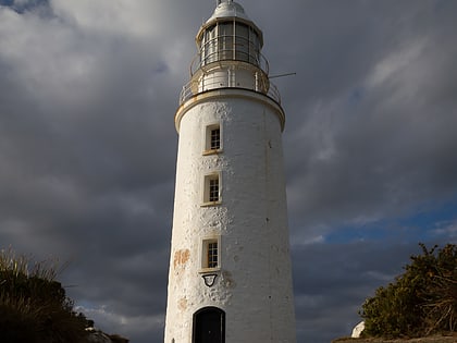
Nearby attractions include: Cape Bruny Lighthouse.
