Flemington Road, Melbourne
Map
Facts and practical information
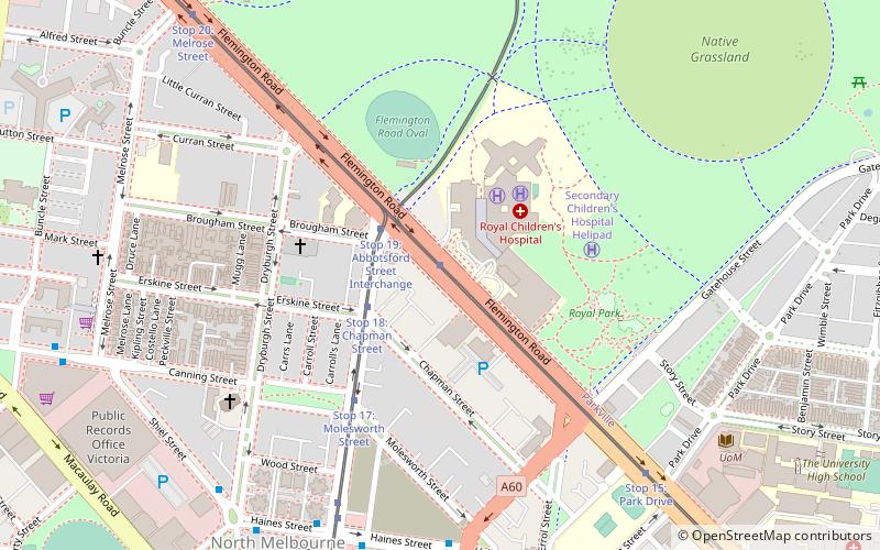
Flemington Road is a major thoroughfare in the inner suburbs of North Melbourne and Parkville in Melbourne, Victoria, Australia. It runs for 2 km in a northwest–southeast direction, from the southern end of Mount Alexander Road, Flemington, to Haymarket roundabout and the northern end of Elizabeth Street, and provides a main connection between the northern arm of the CityLink tollway and Melbourne's CBD. ()
Coordinates: 37°47'40"S, 144°56'54"E
Address
City of Melbourne (North Melbourne)Melbourne
ContactAdd
Social media
Add
Getting there by public transportation
Public transportation stops near this location
- Bus
- Tram
- Train
 Bus
Bus
- Calculate routeStop 19: Royal Children's Hospital 1 min walk
- Calculate routeStop 19: Abbotsford Street Interchange 2 min walk
- Calculate routeStop 18: Erskine Street 3 min walk
- Calculate routeAbbotsford Street/Haines Street 8 min walk
- Calculate routeCurzon Street/Haines Street 8 min walk
- Calculate routeDryburgh Street/Haines Street 9 min walk
- Calculate routeFlemington Bridge 17 min walk
- Calculate routeMacaulay 18 min walk
- Calculate routeRoyal Park 24 min walk
- Calculate routeNorth Melbourne 25 min walk
Maps Melbourne TramsMaps
 Victoria Trains
Melbourne TramsMapsVictoria TrainsDay trips


Frequently Asked Questions (FAQ)
Which popular attractions are close to Flemington Road?
Nearby attractions include Wardlow, Melbourne (12 min walk), MacFarland Library, Melbourne (13 min walk), Grainger Museum, Melbourne (15 min walk), Trinity College Theological School, Melbourne (15 min walk).
How to get to Flemington Road by public transport?
The nearest stations to Flemington Road:
Tram
Bus
Train
Tram
- Stop 19: Royal Children's Hospital • Lines: 58, 58d, 59, 59a, 59d (1 min walk)
- Stop 19: Abbotsford Street Interchange • Lines: 57 (2 min walk)
Bus
- Abbotsford Street/Haines Street • Lines: 402 (8 min walk)
- Curzon Street/Haines Street • Lines: 402 (8 min walk)
Train
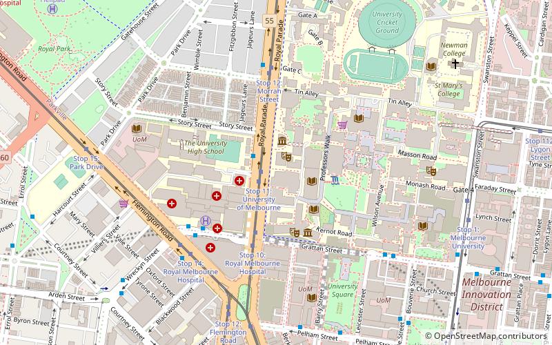
- Flemington Bridge (17 min walk)
- Macaulay (18 min walk)