Royal Park, Melbourne

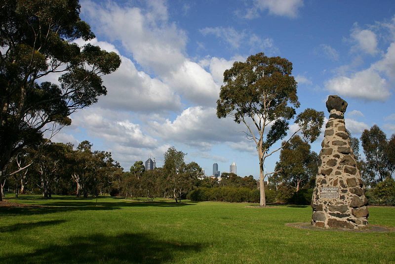
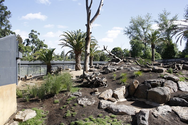
Gallery (2)
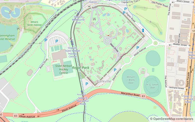
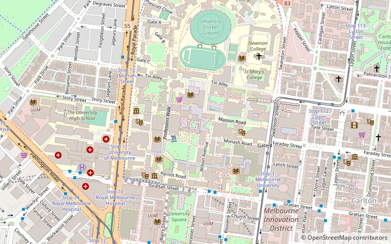
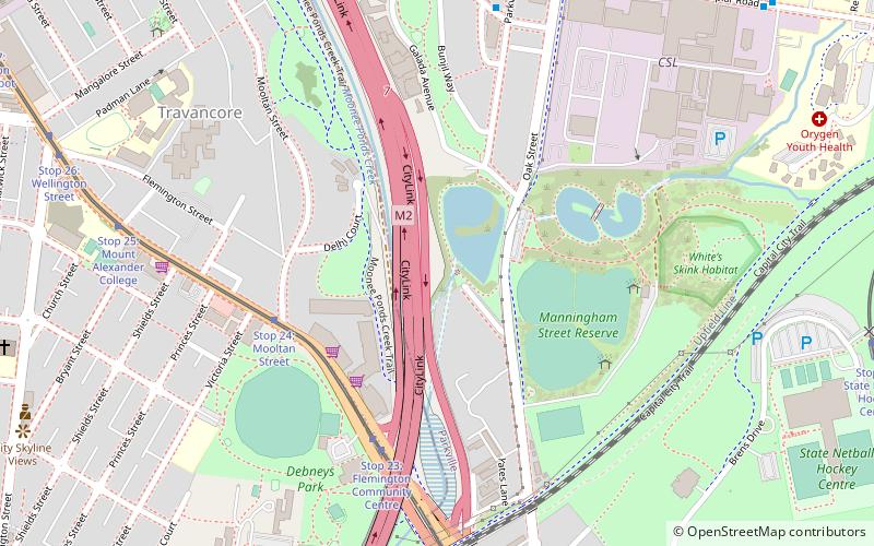
Map
Map
Gallery
Facts and practical information
Royal Park is the largest of Melbourne's inner city parks. It is located four kilometres north of the Melbourne CBD, in Victoria, Australia, in the suburb of Parkville. ()
Area: 0.7 mi²Elevation: 148 ft a.s.l.Coordinates: 37°47'9"S, 144°57'4"E
Address
City of Melbourne (Parkville)Melbourne
ContactAdd
Social media
Add
Getting there by public transportation
Public transportation stops near this location
- Bus
- Tram
- Train
 Bus
Bus
- Calculate routeStop 24: State Netball Hockey Centre 4 min walk
- Calculate routeStop 23: Macarthur Road 5 min walk
- Calculate routeStop 25: Melbourne Zoo 7 min walk
- Calculate routeStop 26: Royal Park Station 9 min walk
- Calculate routeRoyal Melbourne Zoo/Poplar Road 7 min walk
- Calculate routeRoyal Park Station/Poplar Road 10 min walk
- Calculate routePrinces Park/Royal Parade 12 min walk
- Calculate routeRoyal Park 9 min walk
- Calculate routeFlemington Bridge 17 min walk
- Calculate routeJewell 22 min walk
- Calculate routeMacaulay 27 min walk
Maps Melbourne TramsMaps
 Victoria Trains
Melbourne TramsMapsVictoria TrainsDay trips


Frequently Asked Questions (FAQ)
Which popular attractions are close to Royal Park?
Nearby attractions include Melbourne Zoo, Melbourne (3 min walk), Monash University, Melbourne (12 min walk), Princes Park, Melbourne (14 min walk), MacFarland Library, Melbourne (16 min walk).
How to get to Royal Park by public transport?
The nearest stations to Royal Park:
Tram
Bus
Train
Tram
- Stop 24: State Netball Hockey Centre • Lines: 58, 58d (4 min walk)
- Stop 23: Macarthur Road • Lines: 58, 58d (5 min walk)
Bus
- Royal Melbourne Zoo/Poplar Road • Lines: 505 (7 min walk)
- Royal Park Station/Poplar Road • Lines: 505 (10 min walk)
Train
- Royal Park (9 min walk)
- Flemington Bridge (17 min walk)