Hudson Island, Family Islands National Park
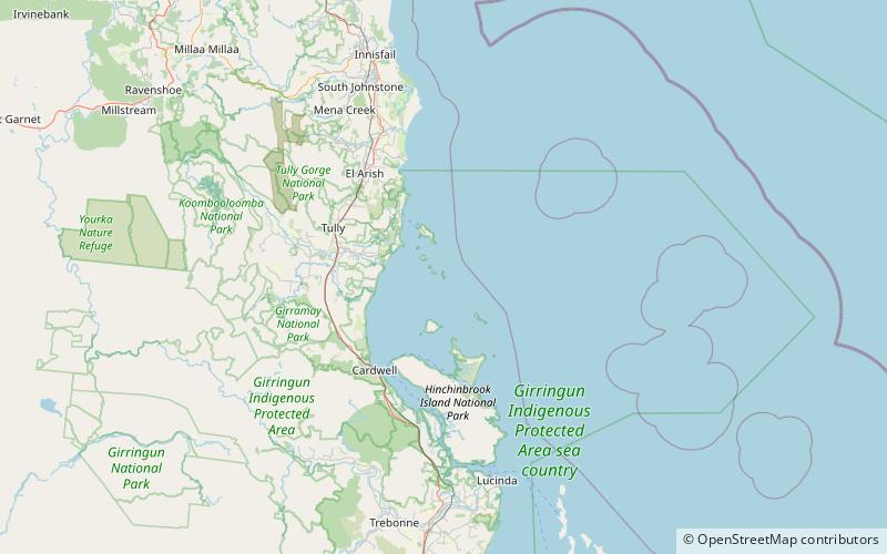
Map
Facts and practical information
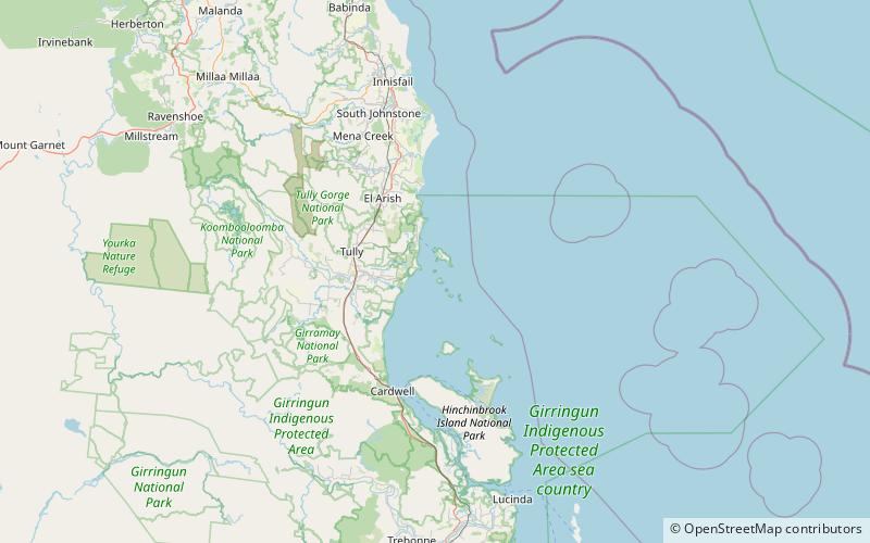
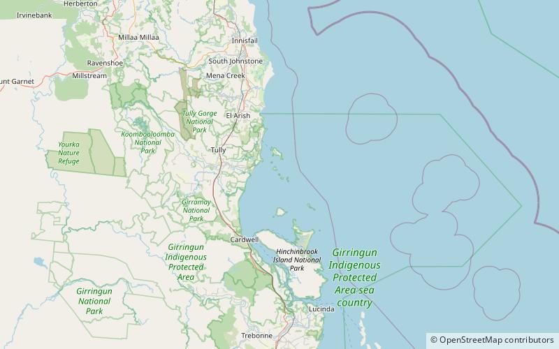
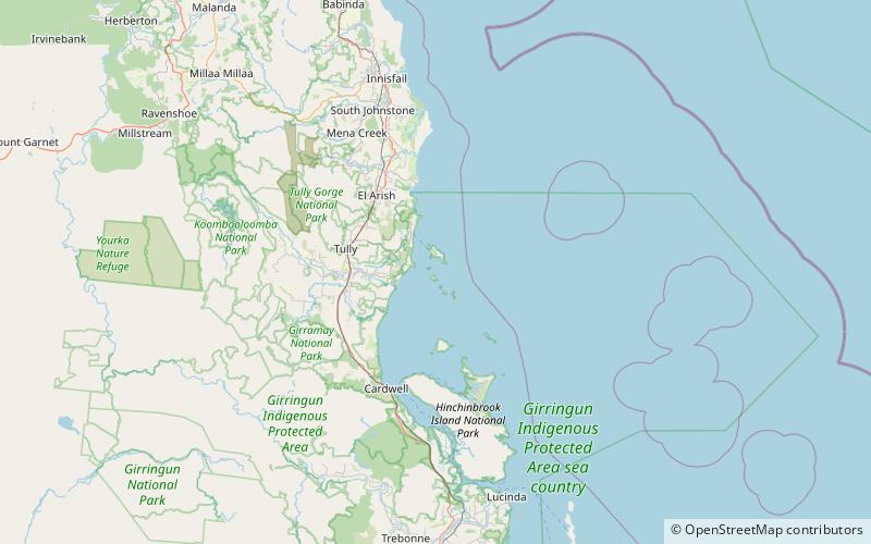
Hudson Island is the southernmost island of the Family Islands group and located approximately 20 km East of Tully Heads. The Aboriginal name for this island is Coolah Island. ()
Coordinates: 18°2'59"S, 146°12'7"E
Address
Family Islands National Park
ContactAdd
Social media
Add
Day trips
Hudson Island – popular in the area (distance from the attraction)
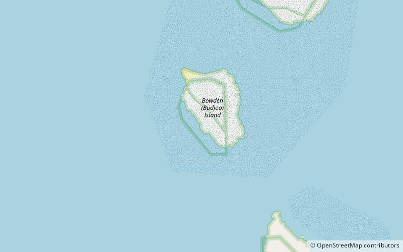
Nearby attractions include: Thorpe Island, Wheeler Island, Bowden Island, Dunk.
