Royston Island

Map
Facts and practical information
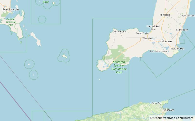
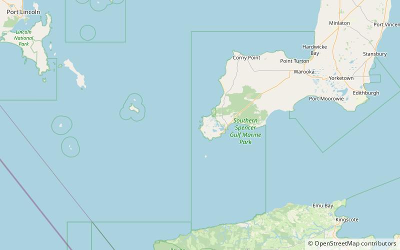
Royston Island is an island in the Australian state of South Australia at the northern end of Pondalowie Bay on the south-west extremity of Yorke Peninsula about 13 kilometres north-west of the town of Stenhouse Bay. The island has enjoyed protected area status since 1967 and since 1972, it has been part of the Innes National Park. ()
Coordinates: 35°11'43"S, 136°50'19"E
Location
South Australia
ContactAdd
Social media
Add
Day trips
Royston Island – popular in the area (distance from the attraction)
Nearby attractions include: South Island.
