South Island, Dhilba Guuranda-Innes National Park

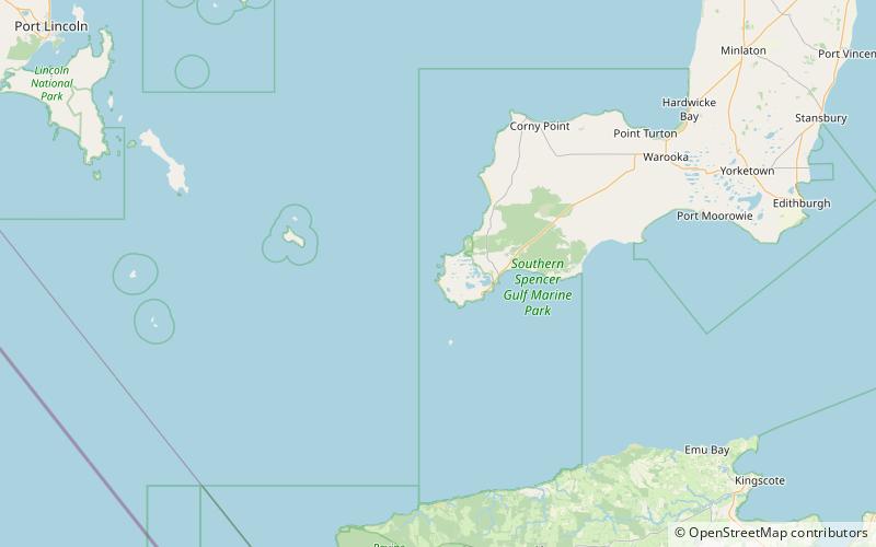
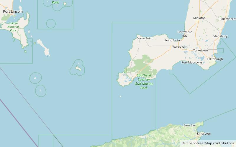
Map
Facts and practical information
South Island is an island located in the Australian state of South Australia at the south end of Pondalowie Bay on the south-west extremity of Yorke Peninsula about 11 kilometres north-west by west of the town of Stenhouse Bay. The island has enjoyed protected area status since 1970 and since 1977, it has been part of the Innes National Park. ()
Coordinates: 35°13'48"S, 136°49'48"E
Address
Dhilba Guuranda-Innes National Park
ContactAdd
Social media
Add
Day trips
South Island – popular in the area (distance from the attraction)
Nearby attractions include: Cape Spencer Lighthouse, Royston Island, Chinamans Hat Island.


