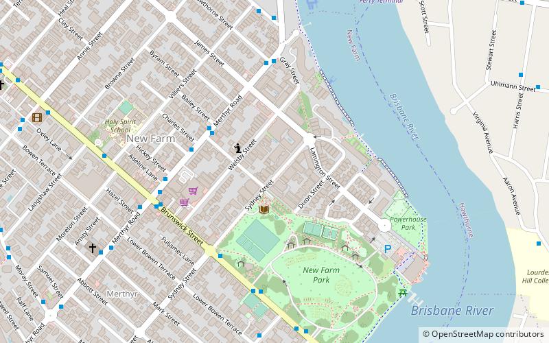
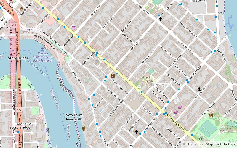
Merthyr, Brisbane
Map
Facts and practical information
Merthyr is a former suburb of the City of Brisbane, Queensland, Australia. It is now a neighbourhood within the suburb of New Farm centred on Merthyr Road. ()
Coordinates: 27°27'59"S, 153°3'0"E
Address
New FarmBrisbane
ContactAdd
Social media
Add
Getting there by public transportation
Public transportation stops near this location
- Bus
- Train
- Ferry
 Bus
Bus
- Calculate routeNew Farm Park Ferry Terminal 11 min walk
- Calculate routeHawthorne Ferry Terminal 11 min walk
- Calculate routeSydney Street Ferry Terminal 20 min walk
- Calculate routeDockside Ferry Terminal 21 min walk
- Calculate routeGibbon Street near Dawson Lane stop 10 16 min walk
- Calculate routeJames Street near Harcourt Street stop 9 19 min walk
- Calculate routeFortitude Valley 32 min walk
- Calculate routeNorman Park 34 min walk
- Calculate routeExhibition 42 min walk
Day trips


Frequently Asked Questions (FAQ)
Which popular attractions are close to Merthyr?
Nearby attractions include New Farm Park, Brisbane (6 min walk), New Farm, Brisbane (7 min walk), Hawthorne, Brisbane (13 min walk), Brunswick Street, Brisbane (14 min walk).
How to get to Merthyr by public transport?
The nearest stations to Merthyr:
Ferry
Bus
Train
Ferry
- New Farm Park Ferry Terminal • Lines: Uqsl-1410 (11 min walk)
- Hawthorne Ferry Terminal • Lines: Uqsl-1410 (11 min walk)
Bus
- Gibbon Street near Dawson Lane stop 10 • Lines: 470 (16 min walk)
- James Street near Harcourt Street stop 9 • Lines: 470 (19 min walk)
Train
- Fortitude Valley (32 min walk)
- Norman Park (34 min walk)