Grenfell Street, Adelaide
Map
Gallery
Facts and practical information
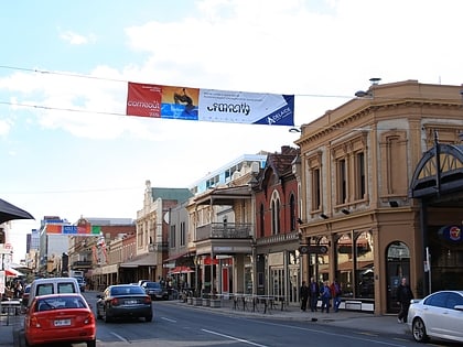
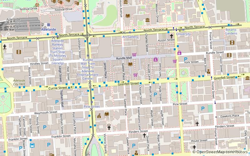
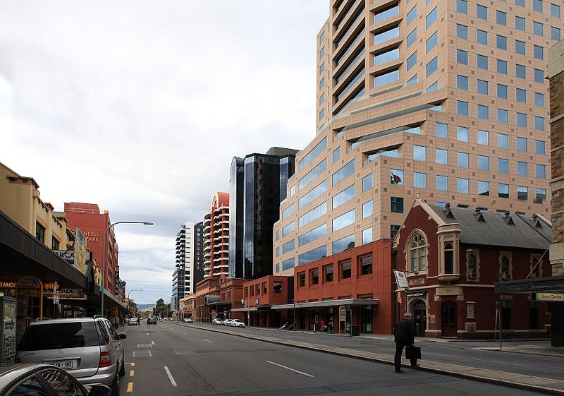
Grenfell Street is a major street in the north-east quarter of the Adelaide city centre, South Australia. The street runs west-east from King William Street to East Terrace. On the other side of King William Street, it continues as Currie Street. Its intersection with Pulteney Street is encircled by Hindmarsh Square. ()
Coordinates: 34°55'26"S, 138°36'7"E
Address
Adelaide (Adelaide City Centre)Adelaide
ContactAdd
Social media
Add
Day trips
Grenfell Street – popular in the area (distance from the attraction)
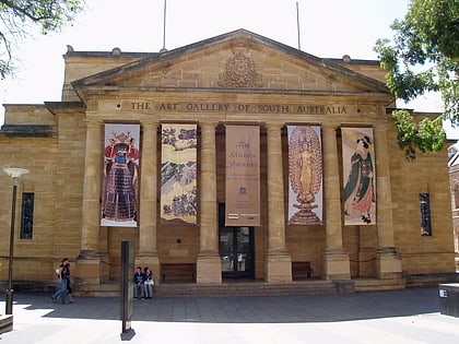
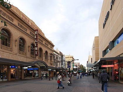
Nearby attractions include: Art Gallery of South Australia, Rundle Mall, Rundle Street, Adelaide Central Plaza.
Frequently Asked Questions (FAQ)
Which popular attractions are close to Grenfell Street?
Nearby attractions include Gawler Place, Adelaide (2 min walk), Rundle Mall, Adelaide (3 min walk), Pirie Street, Adelaide (5 min walk), Hill Smith Gallery, Adelaide (5 min walk).
How to get to Grenfell Street by public transport?
The nearest stations to Grenfell Street:
Bus
Tram
Train
Bus
- Stop F1 Grenfell Street - North side • Lines: 830F (3 min walk)
- Stop D1 King William Street - East side • Lines: 253X (4 min walk)
Tram
- Pirie Street (5 min walk)
- Rundle Mall Tram Stop (5 min walk)
Train
- Adelaide (10 min walk)
- Adelaide Parklands Terminal (39 min walk)

