The Gap, Sydney
Map

Gallery

Facts and practical information
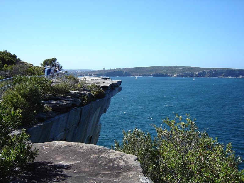
The Gap is an ocean cliff on the South Head peninsula in eastern Sydney, New South Wales, Australia. The area, which faces the Tasman Sea, is located in the eastern suburb of Watsons Bay, in the Municipality of Woollahra, near South Head. Although the cliff is a popular visitor destination, it has an infamy for suicides. ()
Address
Eastern Suburbs (Watsons Bay)Sydney
ContactAdd
Social media
Add
Day trips
The Gap – popular in the area (distance from the attraction)
Nearby attractions include: Wentworth Memorial Church, Nielsen Park, South Head General Cemetery, Hornby Lighthouse.
Frequently Asked Questions (FAQ)
Which popular attractions are close to The Gap?
Nearby attractions include Signal Hill Battery, Sydney (15 min walk), Hornby Lighthouse, Sydney (18 min walk), Eastern Channel Pile Light, Sydney (19 min walk), Macquarie Lighthouse, Sydney (19 min walk).
How to get to The Gap by public transport?
The nearest stations to The Gap:
Ferry
Ferry
- Watsons Bay Wharf • Lines: F7 (6 min walk)

 Sydney Trains
 Sydney Light Rail
 Sydney Ferries


