Penshurst Reservoirs, Sydney
Map
Facts and practical information
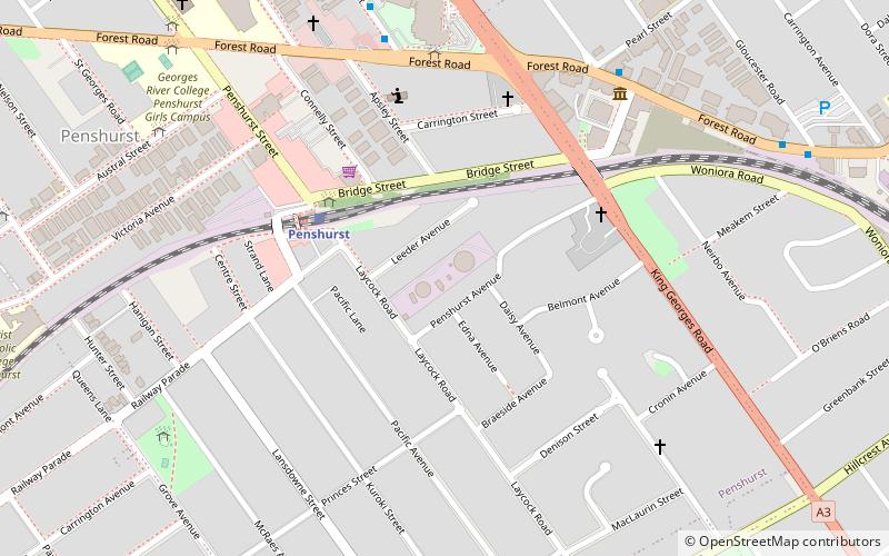
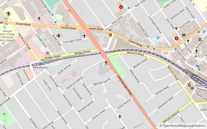
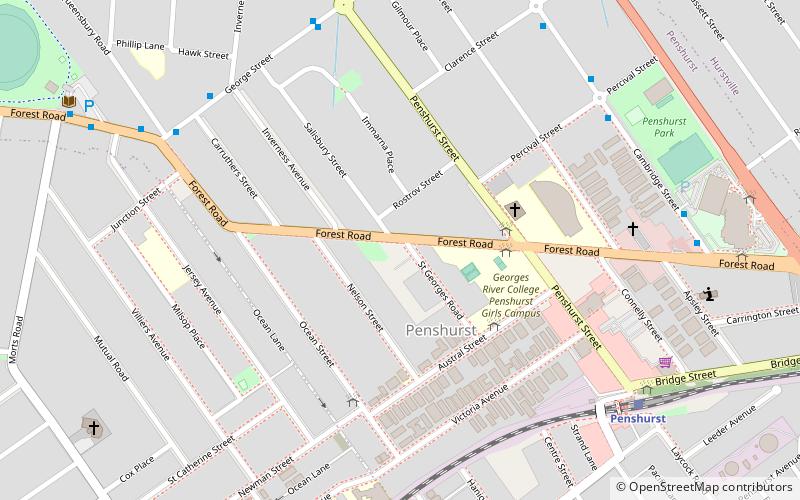
The Penshurst Reservoirs are heritage-listed reservoirs located at Laycock Road, Penshurst in the Georges River Council local government area of New South Wales, Australia. They were designed and built during 1895 by the NSW Public Works Department. The reservoirs are also known as WS87 & R88, Penshurst Elevated Steel Reservoir No 2 and Penshurst Elevated Concrete Reservoir No 3. The property is owned by Sydney Water, an agency of the Government of New South Wales. The site was added to the New South Wales State Heritage Register on 18 November 1999. ()
Coordinates: 33°58'2"S, 151°5'30"E
Address
Hurstville (Penshurst)Sydney
ContactAdd
Social media
Add
Getting there by public transportation
Public transportation stops near this location
- Bus
- Train
 Bus
Bus
- Calculate routePenshurst 5 min walk
- Calculate routeHurstville 16 min walk
- Calculate routeMortdale 17 min walk
- Calculate routeOatley 30 min walk
- Calculate routeHurstville Aquatic Centre 7 min walk
- Calculate routePenshurst Park 7 min walk
- Calculate routeGloucester Road 11 min walk
- Calculate routeCambridge and Percival Streets 13 min walk
Maps Sydney TrainsMaps
 Sydney Light RailMaps
 Sydney Ferries
Sydney TrainsMapsSydney Light RailMapsSydney FerriesDay trips


Frequently Asked Questions (FAQ)
Which popular attractions are close to Penshurst Reservoirs?
Nearby attractions include West Maling, Sydney (5 min walk), Penshurst Mosque, Sydney (13 min walk), Hurstville, Sydney (19 min walk), Moore Reserve, Sydney (24 min walk).
How to get to Penshurst Reservoirs by public transport?
The nearest stations to Penshurst Reservoirs:
Train
Bus
Train
- Penshurst (5 min walk)
- Hurstville (16 min walk)
Bus
- Hurstville Aquatic Centre • Lines: M91 (7 min walk)
- Penshurst Park • Lines: M91 (7 min walk)