Hurstville Oval, Sydney
Map
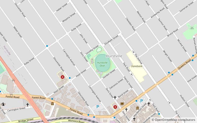
Map

Facts and practical information
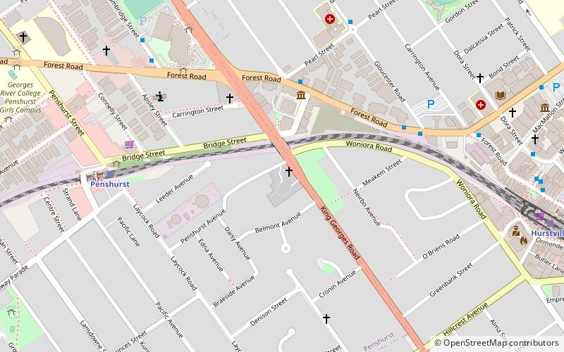
Hurstville Oval is a multi-use sporting ground, located in the suburb of Hurstville, in Sydney's southern suburbs. Since its opening, it has held various sports at the venue – including Cricket, Rugby League, Cycling and Football. The oval also has a velodrome in the grounds, between the field and the stands. ()
Opened: 1911 (115 years ago)Coordinates: 33°57'40"S, 151°5'56"E
Day trips
Hurstville Oval – popular in the area (distance from the attraction)
Nearby attractions include: Westfield Hurstville, Hurstville Central, Hurstville, West Maling.
Frequently Asked Questions (FAQ)
Which popular attractions are close to Hurstville Oval?
Nearby attractions include West Maling, Sydney (12 min walk), Hurstville, Sydney (12 min walk), Penshurst Reservoirs, Sydney (16 min walk), Penshurst Mosque, Sydney (23 min walk).
How to get to Hurstville Oval by public transport?
The nearest stations to Hurstville Oval:
Bus
Train
Bus
- Gloucester Road • Lines: M91 (7 min walk)
- Hurstville Interchange Set Down Only • Lines: 410 (10 min walk)
Train
- Hurstville (12 min walk)
- Penshurst (18 min walk)

 Sydney Trains
 Sydney Light Rail
 Sydney Ferries


