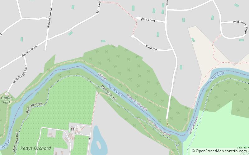
Greengully Trail, Melbourne
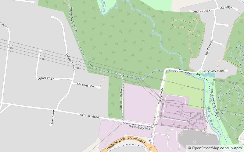
Map
Facts and practical information
Coordinates: 37°44'47"S, 145°10'1"E
Address
Manningham (Templestowe)Melbourne
ContactAdd
Social media
Add
Getting there by public transportation
Public transportation stops near this location
- Bus
 Bus
Bus
- Calculate routeHeidelberg-Warrandyte Rd/Blackburn Rd 9 min walk
- Calculate routeFernlea Cres/Blackburn Rd 12 min walk
- Calculate routeRaintree Rd/Blackburn Rd 15 min walk
- Calculate routeMontreal Dr/Blackburn Rd 15 min walk
Maps Melbourne TramsMaps
 Victoria Trains
Melbourne TramsMapsVictoria TrainsDay trips


Frequently Asked Questions (FAQ)
How to get to Greengully Trail by public transport?
The nearest stations to Greengully Trail:
Bus
Bus
- Heidelberg-Warrandyte Rd/Blackburn Rd • Lines: 905 (9 min walk)
- Fernlea Cres/Blackburn Rd • Lines: 905 (12 min walk)