Tally Ho, Melbourne
Map

Map

Facts and practical information
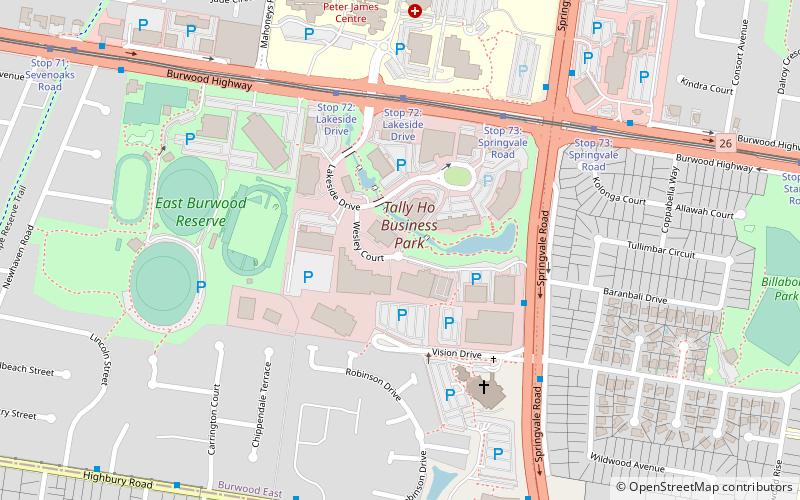
Tally Ho is a locality within the suburb of Burwood East, Victoria, Australia. It is in the local government area of the City of Whitehorse. It is centred on the intersection of Burwood Highway and Springvale Road and is approximately 18 km east of the Melbourne Central Business District. ()
Coordinates: 37°51'25"S, 145°9'58"E
Address
Whitehorse (Burwood East)Melbourne
ContactAdd
Social media
Add
Day trips
Tally Ho – popular in the area (distance from the attraction)
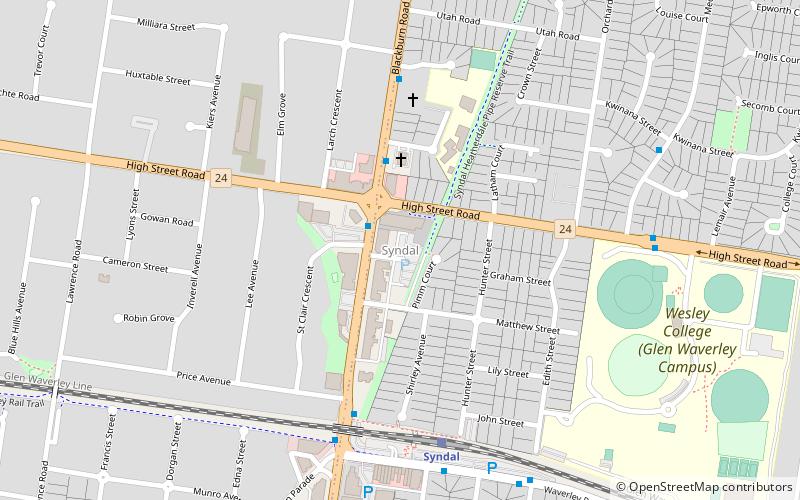
Nearby attractions include: Wobbies World, Ramsay Street, Crossway Baptist Church, Syndal.
Frequently Asked Questions (FAQ)
Which popular attractions are close to Tally Ho?
Nearby attractions include Crossway Baptist Church, Melbourne (4 min walk), Ramsay Street, Melbourne (9 min walk).
How to get to Tally Ho by public transport?
The nearest stations to Tally Ho:
Bus
Tram
Bus
- Vision Drive • Lines: 902 (5 min walk)
- Weeden Drive • Lines: 902 (6 min walk)
Tram
- Stop 72: Lakeside Drive • Lines: 75, 75d (5 min walk)
- Stop 73: Springvale Road • Lines: 75, 75d (7 min walk)

 Melbourne Trams
 Victoria Trains


