Deasland, Canberra
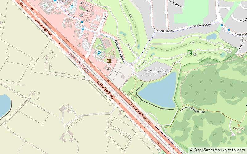
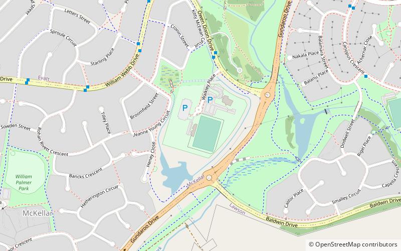
Map
Facts and practical information
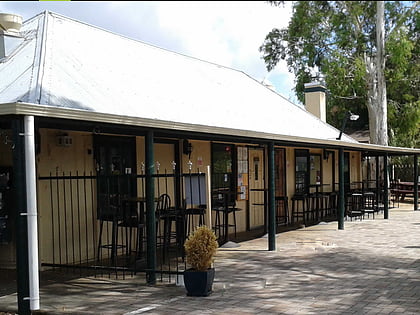
Deasland was an historic homestead at Ginninderra in Canberra’s north on the Barton Highway. It was demolished in early 2022 due to 'Mr Fluffy' asbestos contamination. ()
Coordinates: 35°11'43"S, 149°5'20"E
Address
Gungahlin (Nicholls)Canberra
ContactAdd
Social media
Add
Day trips
Deasland – popular in the area (distance from the attraction)
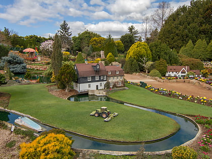
Nearby attractions include: Cockington Green Gardens, Westfield Belconnen, Canberra Stadium, AIS Arena.
Frequently Asked Questions (FAQ)
Which popular attractions are close to Deasland?
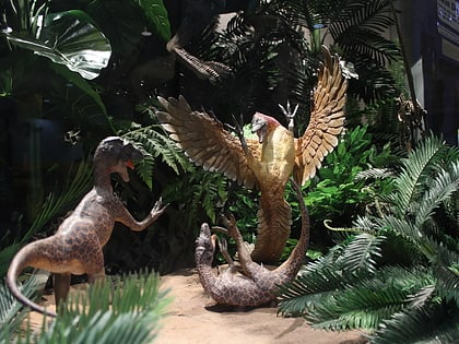
Nearby attractions include National Dinosaur Museum, Canberra (3 min walk), Cockington Green Gardens, Canberra (8 min walk), Canberra Reptile Zoo, Canberra (12 min walk).
How to get to Deasland by public transport?
The nearest stations to Deasland:
Bus
Bus
- Chuculba Crescent after 2nd Mirrabucca Crescent • Lines: 30 (26 min walk)
