Elder Place

Gallery (1)
Map
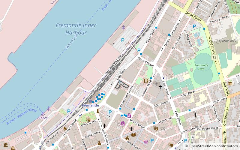
Map
Facts and practical information
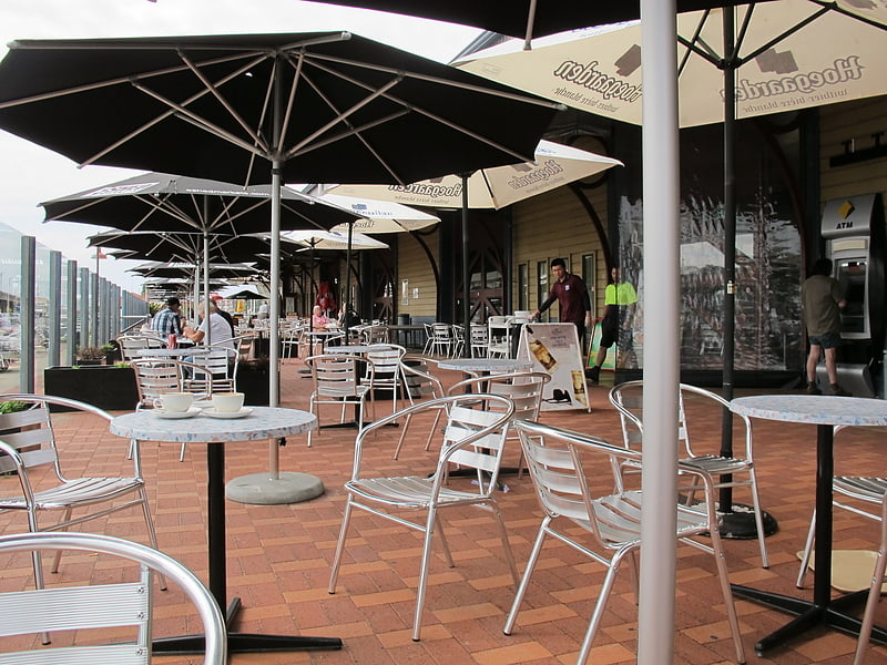
Elder Place in a street in Fremantle, Western Australia that primarily runs between the north-west ends of Parry Street and Queen Street, south-west of the Fremantle railway line. At the north-eastern end Elder Place becomes Beach Street; at the south-western end it becomes Phillimore Street. A small cul de sac, also called Elder Place, but not connected to the main street, runs off Phillimore Street, in the direction of Market Street. ()
Coordinates: 32°3'2"S, 115°44'51"E
Location
Western Australia
ContactAdd
Social media
Add
Day trips
Elder Place – popular in the area (distance from the attraction)
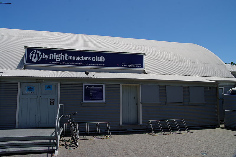
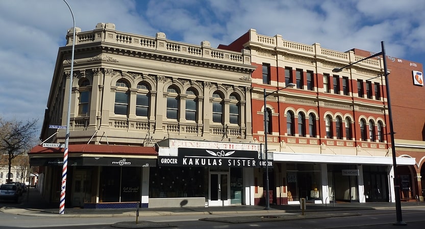
Nearby attractions include: E Shed Markets, Fly by Night Club, St John's Anglican Church, Princess Theatre.