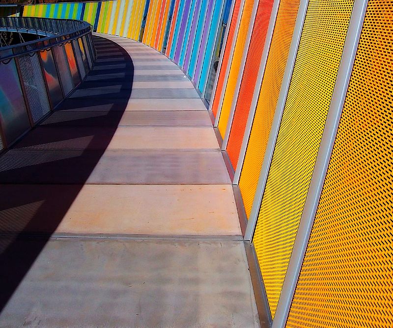
Brickpit Ring Walk, Sydney

Gallery (3)
Map
Map
Gallery
Facts and practical information
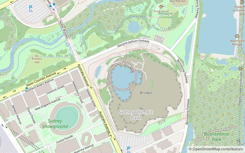
The Brickpit Ring Walk is an urban nature park and walkway that serves as a water storage and frog habitat, located in the Bicentennial Park, in the Sydney Olympic Park, in western Sydney, New South Wales, Australia. Once a brick manufacturing site, the land was to be redeveloped as part of the site for the 2000 Sydney Olympic and Paralympic Games, however the 1992 discovery of the then endangered Green and Golden Bell Frog placed a hold on developments. The urban nature park and walkway was established in 2006. ()
Elevation: -75 ft b.s.l.Coordinates: 33°50'26"S, 151°4'18"E
Address
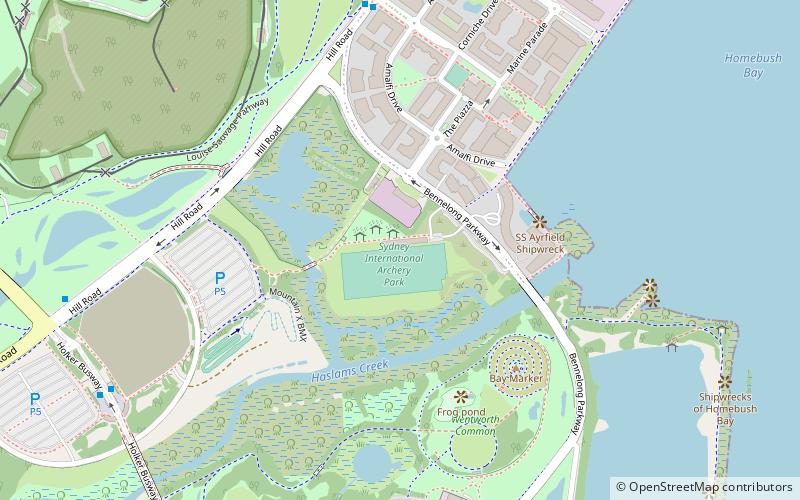
Auburn (Homebush Bay)Sydney
Contact
+61 2 9714 7888
Social media
Add
Getting there by public transportation
Public transportation stops near this location
- Bus
- Train
 Bus
Bus
- Calculate routeOlympic Park Station 10 min walk
- Calculate routeAustralia Ave before Herb Elliott Ave 13 min walk
- Calculate routeShowground Rd 13 min walk
- Calculate routeOlympic Park 11 min walk
- Calculate routeConcord West 25 min walk
- Calculate routeRhodes 29 min walk
Maps Sydney TrainsMaps
 Sydney Light RailMaps
 Sydney Ferries
Sydney TrainsMapsSydney Light RailMapsSydney FerriesDay trips


Frequently Asked Questions (FAQ)
Which popular attractions are close to Brickpit Ring Walk?
Nearby attractions include Sydney/Sydney Olympic Park, Sydney (14 min walk), Powells Creek, Sydney (14 min walk), Louise Sauvage Pathway, Sydney (17 min walk), ANZ Stadium, Sydney (17 min walk).
How to get to Brickpit Ring Walk by public transport?
The nearest stations to Brickpit Ring Walk:
Bus
Train
Bus
- Olympic Park Station • Lines: 525, 526 (10 min walk)
- Australia Ave before Herb Elliott Ave • Lines: 525, 526 (13 min walk)
Train
- Olympic Park (11 min walk)
- Concord West (25 min walk)