Archery, Sydney
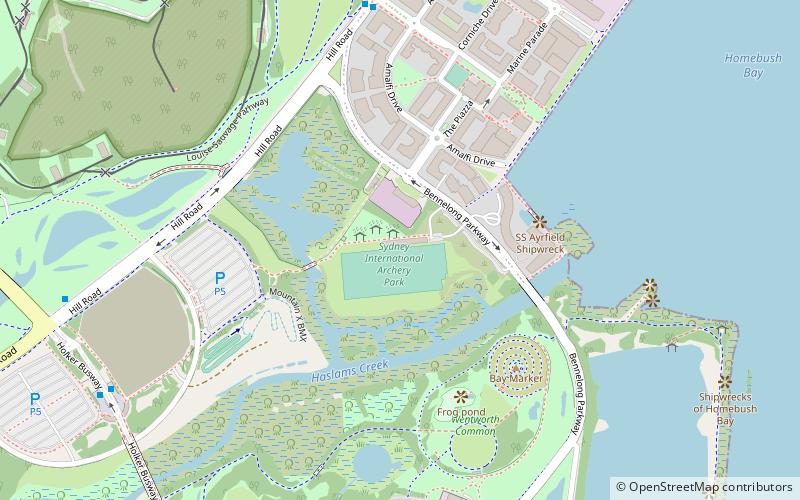
Map
Facts and practical information
The Sydney International Archery Park was specially designed for archery during the 2000 Summer Olympics. The stadium is located in Sydney Olympic Park. It was designed by Stutchbury and Pape. ()
Coordinates: 33°50'2"S, 151°4'23"E
Getting there by public transportation
Public transportation stops near this location
- Bus
- Train
- Ferry
 Bus
Bus
- Calculate routeStromboli Strait 8 min walk
- Calculate routeHill Road at holker street 11 min walk
- Calculate routeNuvolari Place 13 min walk
- Calculate routeHolker St after Hill Rd 14 min walk
- Calculate routeRhodes 22 min walk
- Calculate routeOlympic Park 23 min walk
- Calculate routeConcord West 32 min walk
- Calculate routeSydney Olympic Park 23 min walk
- Calculate routeMeadowbank 34 min walk
Maps Sydney TrainsMaps
 Sydney Light RailMaps
 Sydney Ferries
Sydney TrainsMapsSydney Light RailMapsSydney FerriesDay trips


Frequently Asked Questions (FAQ)
Which popular attractions are close to Archery?
Nearby attractions include Louise Sauvage Pathway, Sydney (12 min walk), Brickpit Ring Walk, Sydney (12 min walk), Powells Creek, Sydney (15 min walk), Bennelong Bridge, Sydney (18 min walk).
How to get to Archery by public transport?
The nearest stations to Archery:
Bus
Train
Ferry
Bus
- Stromboli Strait • Lines: 526 (8 min walk)
- Hill Road at holker street • Lines: 526 (11 min walk)
Train
- Rhodes (22 min walk)
- Olympic Park (23 min walk)
Ferry
- Sydney Olympic Park • Lines: F3 (23 min walk)
- Meadowbank • Lines: F3 (34 min walk)